Garden to Glass
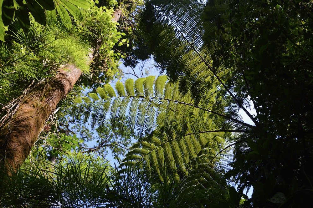
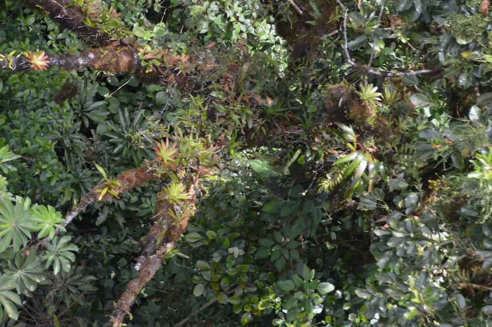
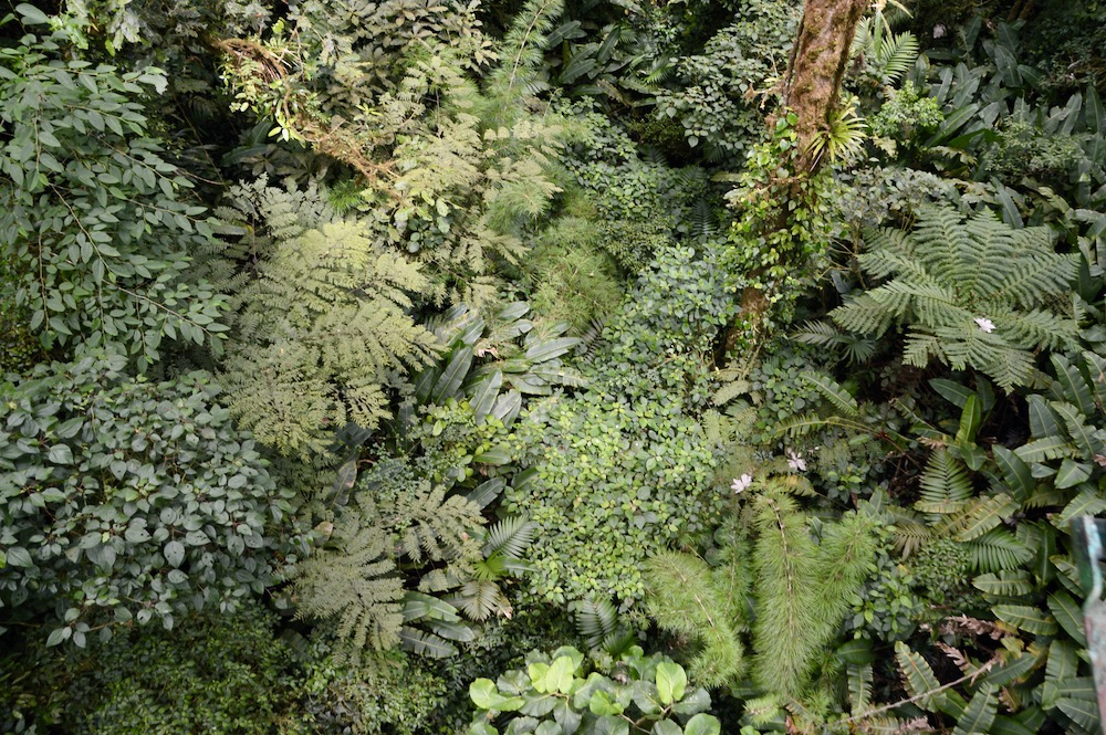
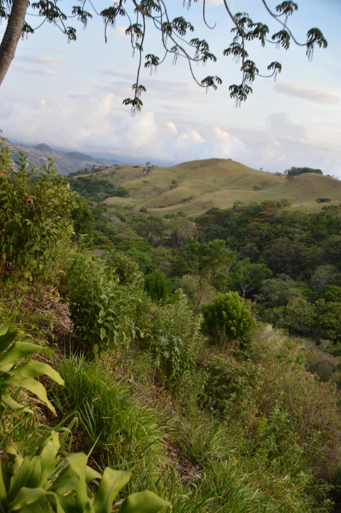
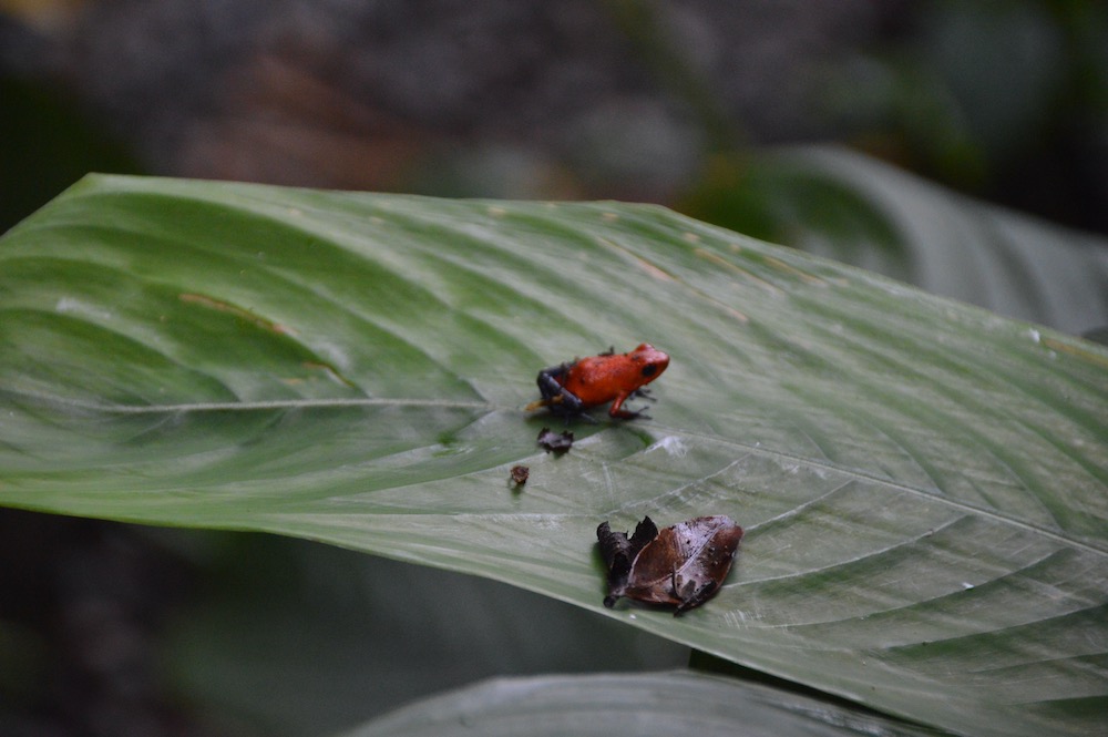
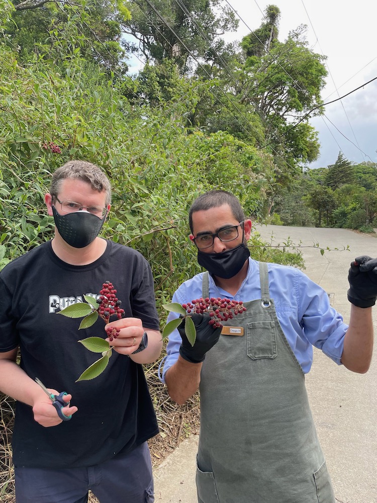
In the afternoon Laura and I did a 'garden to glass' experience at the Hotel, just the two of us, where Diego took us first around the gardens of the hotel to see their sustainability at work and the different plants they grow and how they can be used. We took a basket around with us and gathered lots of sprigs of herbs, flowers and even wild blackberries.
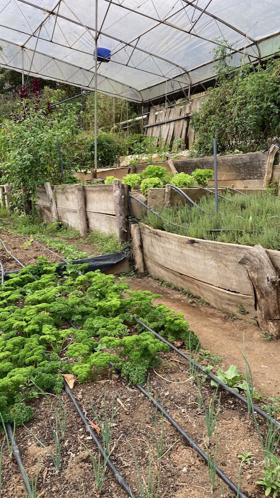
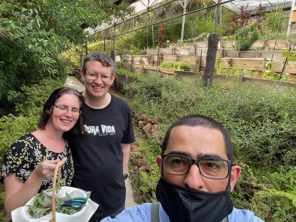
In the gardens we also met Floriana who oversees the gardens at the Belmar who we talked to about natural pest control and composting.
When we got back to the bar, we laid out all the ingredients on a table and Diego showed us how to make a coffee rum cocktail from rum which he'd left coffee beans soaking in earlier - very simple but delicious!

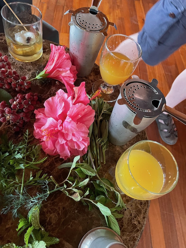
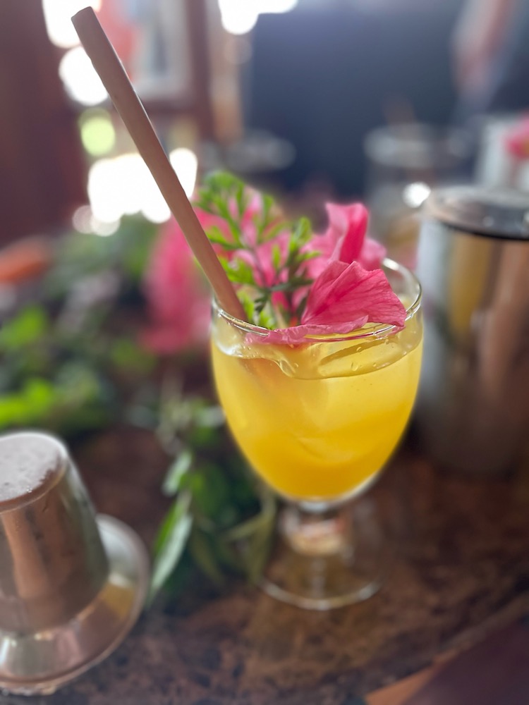
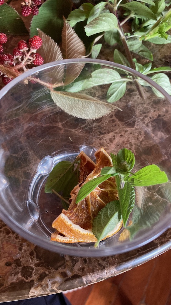
We then got to make our own cocktail from some of the items we'd gathered from the garden - first selecting the spirit and then crushing the leaves together with a caramelised orange segment. We then added these to a shaker with Guaro, syrup and ice and shook it. Diego smoked the glasses on a pine smoker, added ice and then we poured the cocktails in and garnished with more findings from the garden - in this case some flower petals and a carrot leaf.
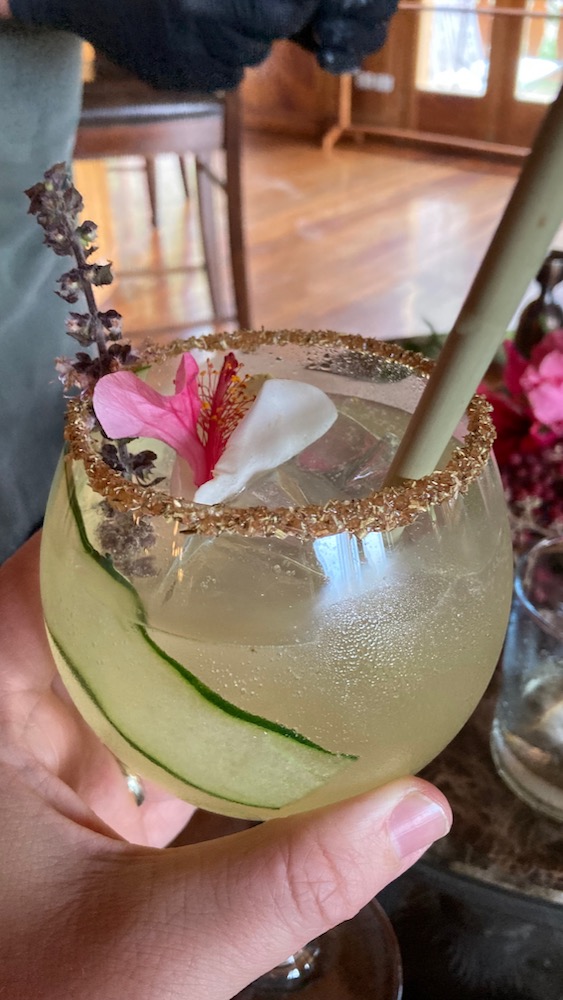
For the last cocktail we learnt how to garnish the rim of the glass and then could sit back and watch the expert at work in making the cocktails for us with cucumber and basil from the garden.