Ricky Moorhouse

Blog

Candes-Saint-Martin

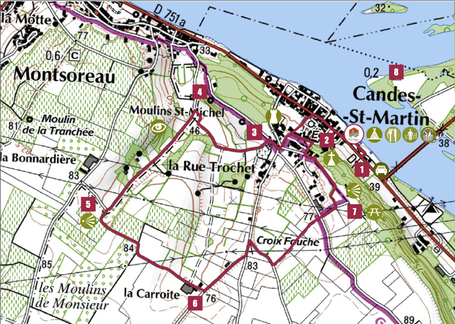
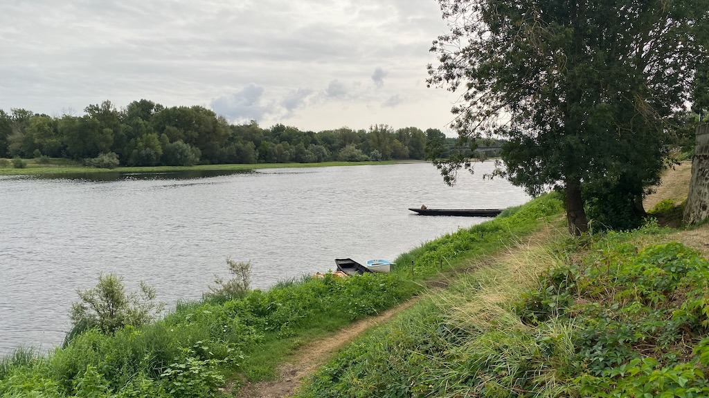
Candes-Saint-Martin is close to the confluence of the Loire and the Vienne rivers. We went on a lovely circular walk from the town up through the nearby vineyards to the view point.

Candes-Saint-Martin walking route

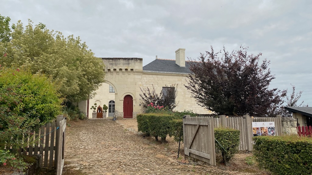
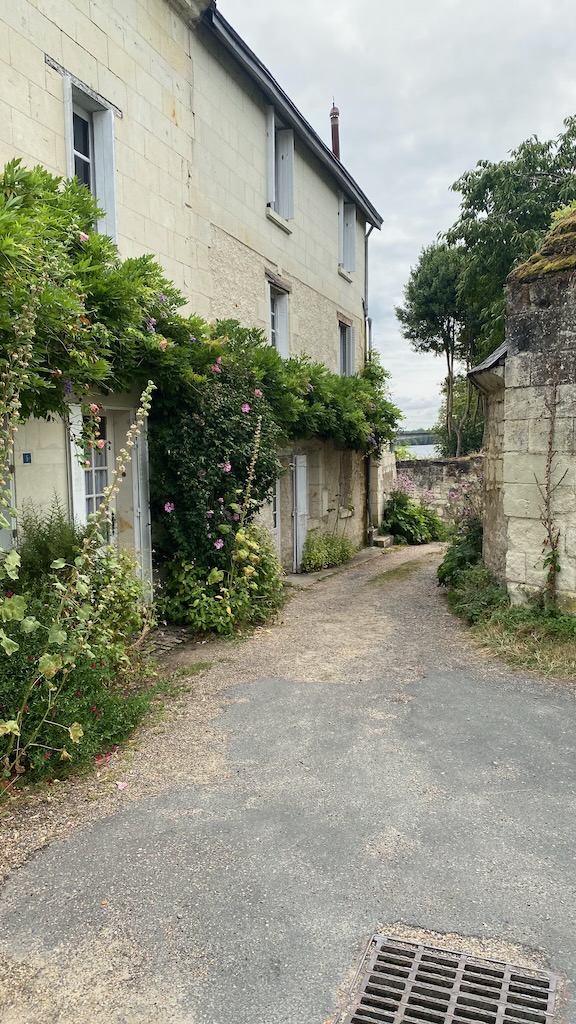
First we headed up from the river through the town.

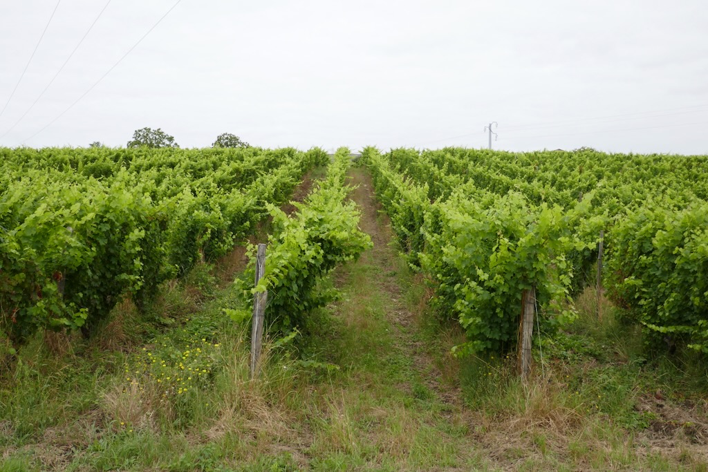
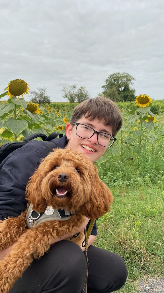
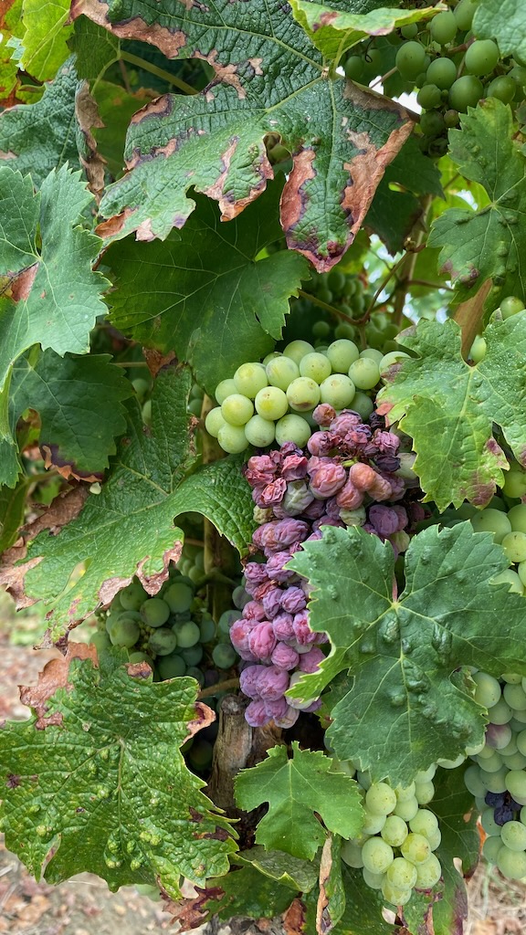
Where we reached the vineyards and sunflower fields.

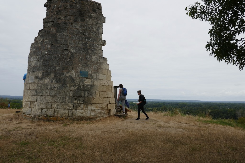
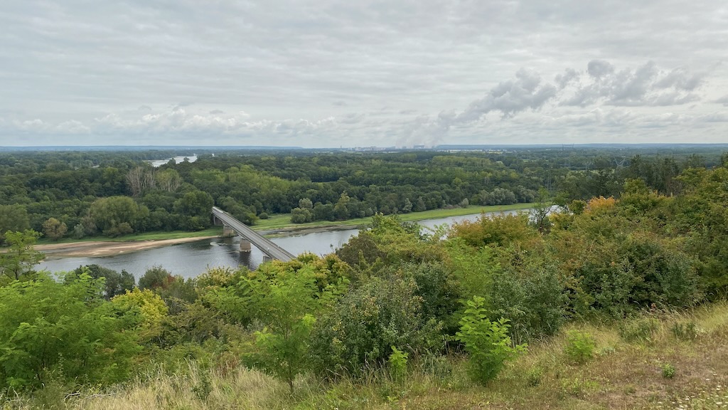
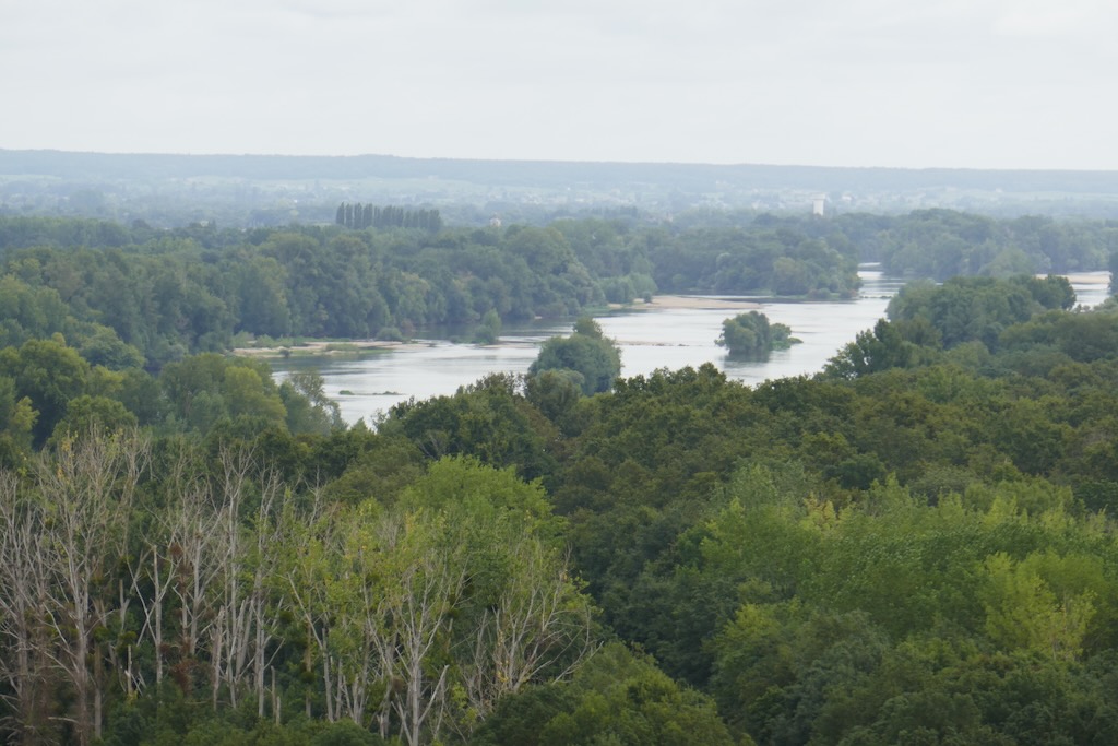
After heading across the fields above the town where we saw many fields of produce we reached the viewpoint overlooking the confluence of the rivers.

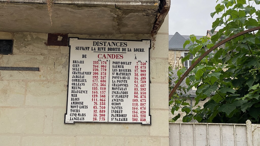
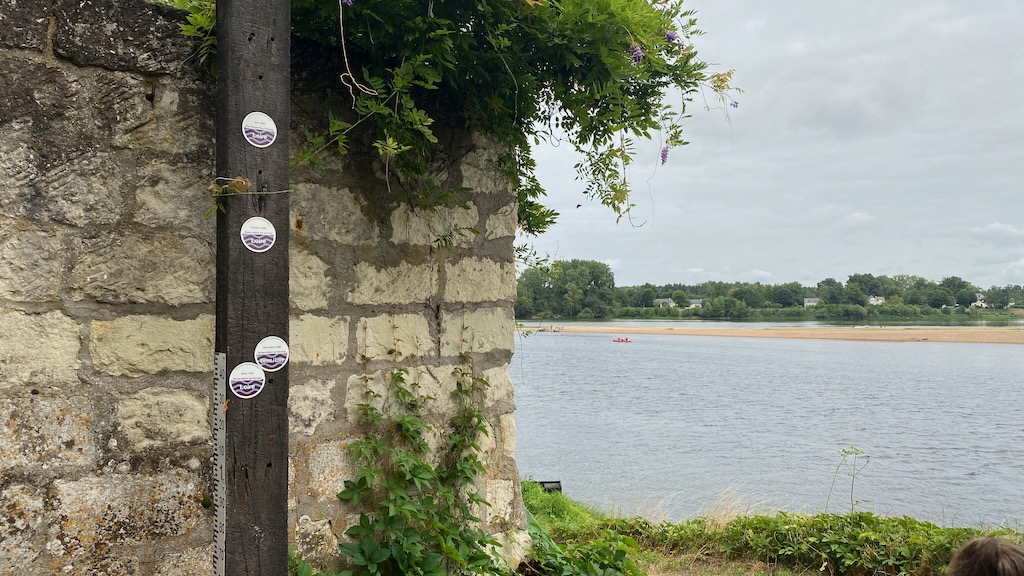
We then headed down and walked back along the edge of the town nearest the Loire - it was amazing to see the markers showing just how high the water had risen in the past.

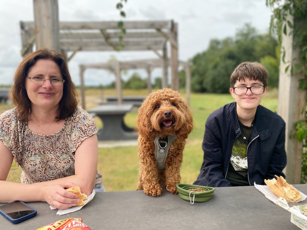
After the walk we stopped at a picnic spot along the way back just up from the river.

Château de Chenonceau

The Château de Chenonceau is built spanning the river Cher and is one of the best-known châteaux of the Loire Valley.

La Membrolle sur Choisille

On the first day in Fondettes we headed out for an evening walk along the nearby rivers - we'd expected to be able to take a circular route, but it appeared that the return route would be through a field of sheep which we decided probably wasn't best with Nova so we retraced our steps back along the way we'd come from.

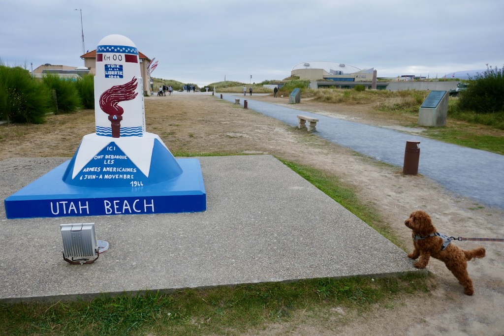
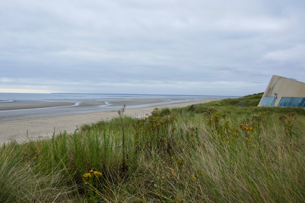
Utah Beach and journey

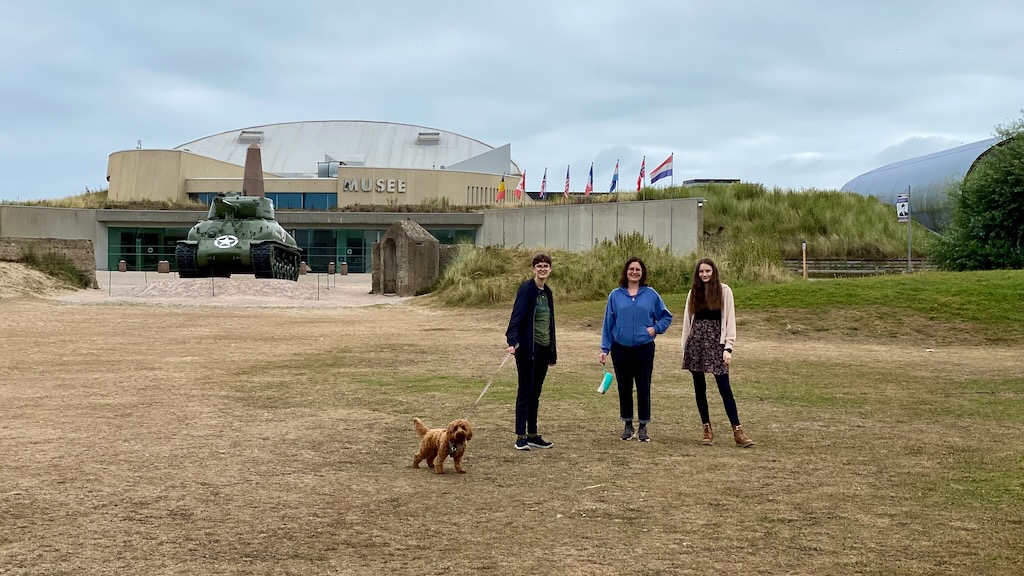
We took the overnight ferry from Portsmouth to Cherbourg, arriving in Cherbourg at 8am. We then started our journey south to the Loire valley, stopping at Utah Beach on the way.

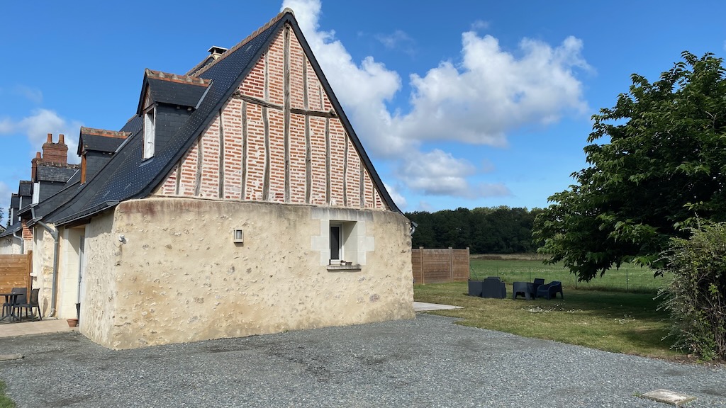
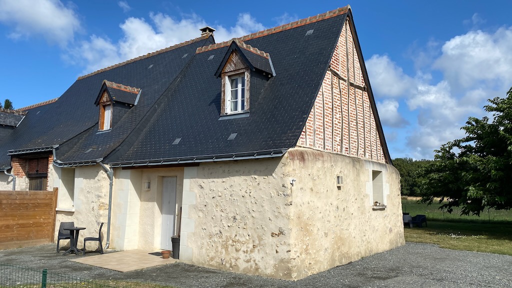
We then continued our journey to our destination of Fondettes near Tours.

Iona

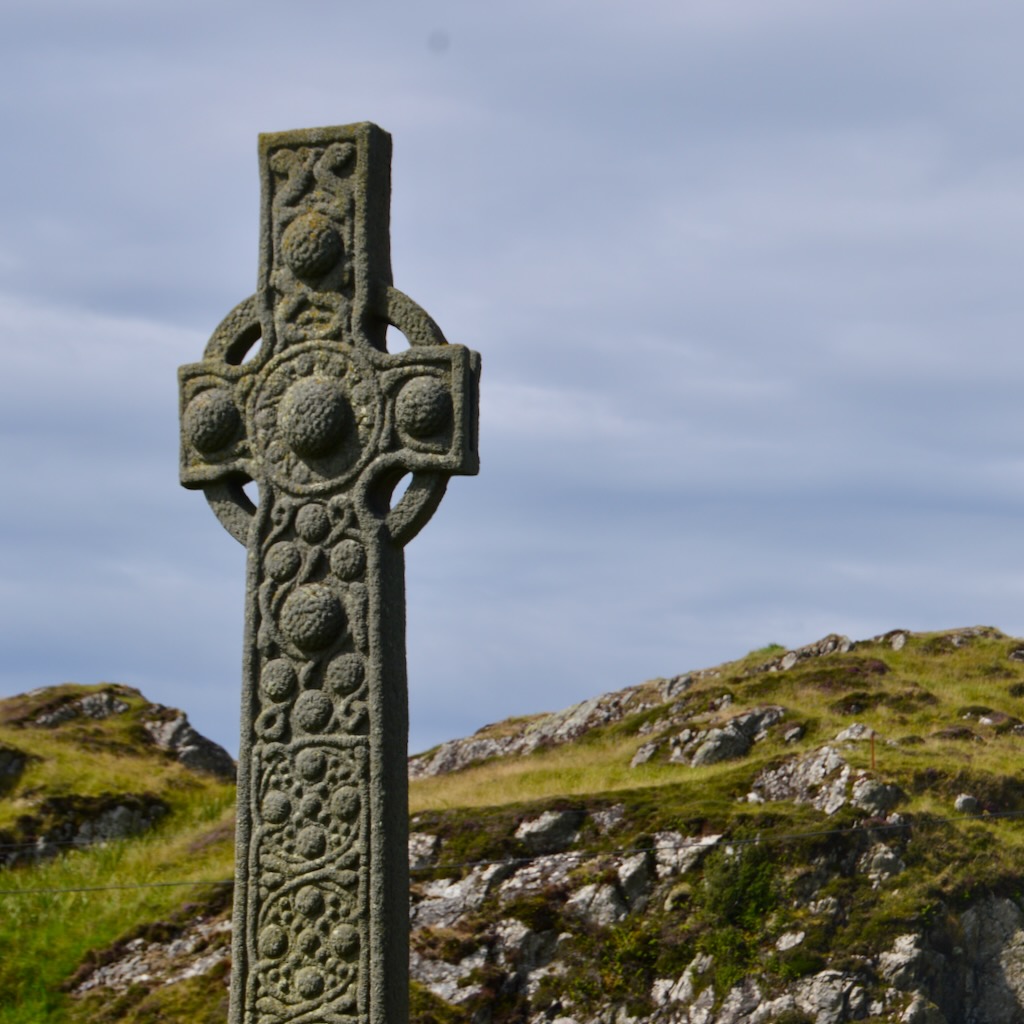
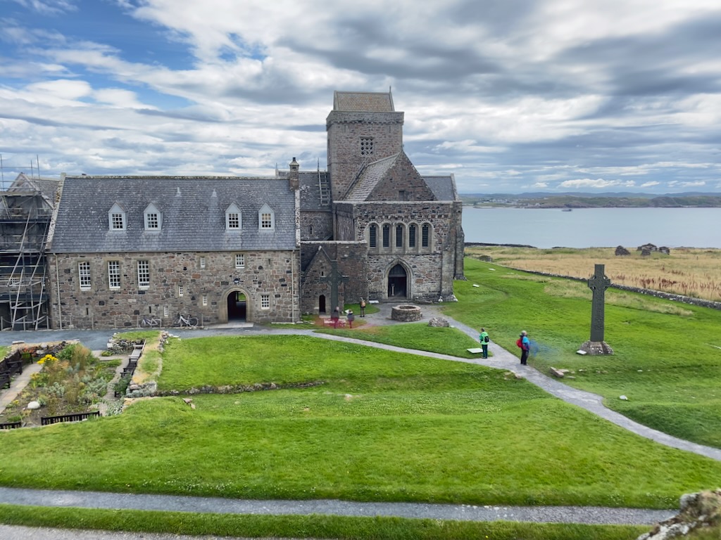
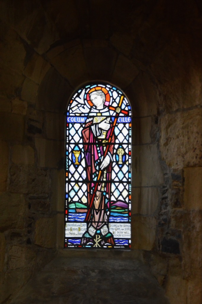
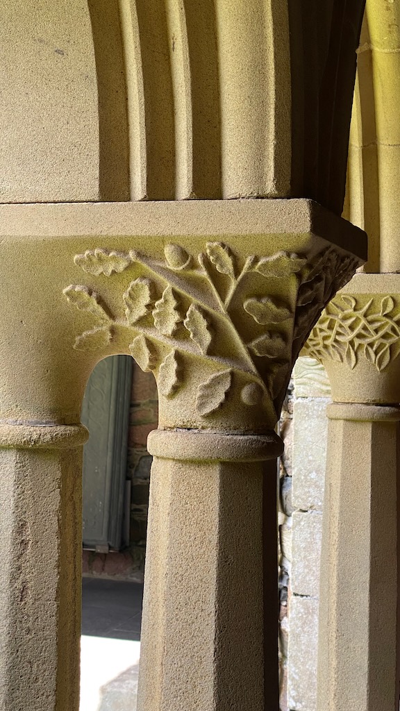
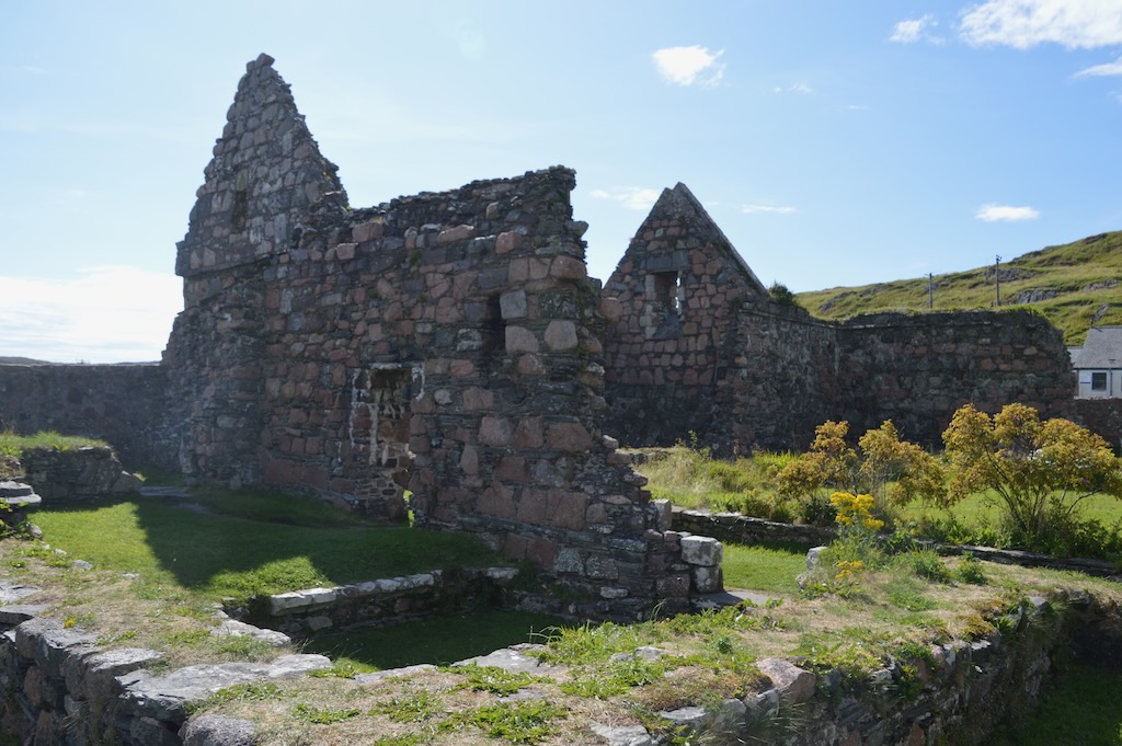
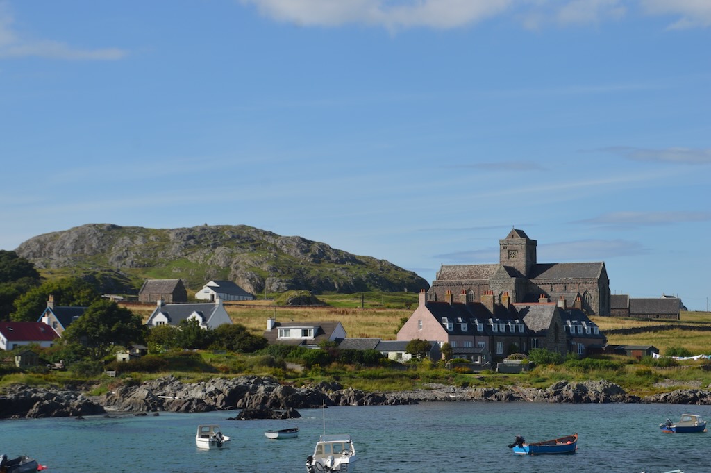
We took the ferry to Iona from Fionnphort which is a short 10 minute crossing - mostly passengers and a few vehicles delivering supplies to the island. First we visited the Abbey which is looked after by Historic Environment Scotland and they provide audio tours.

The monastry on Iona was founded by Colomba and his 12 companions in 563. We started the tour by going up Tòrr an Aba (Abbot's mound) - the site where it is understood Colomba's writing hut originally stood overlooking the Abbey.

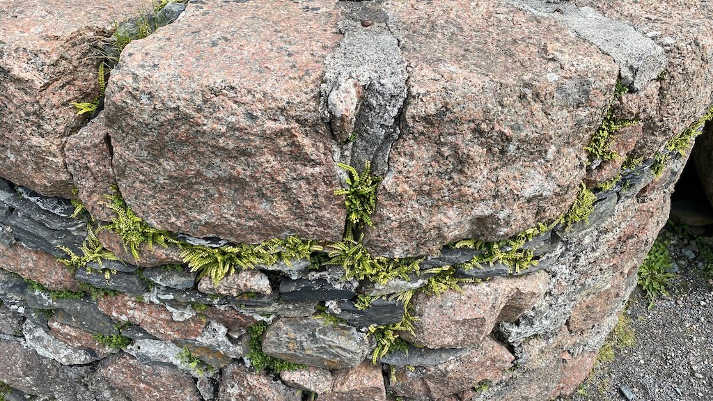
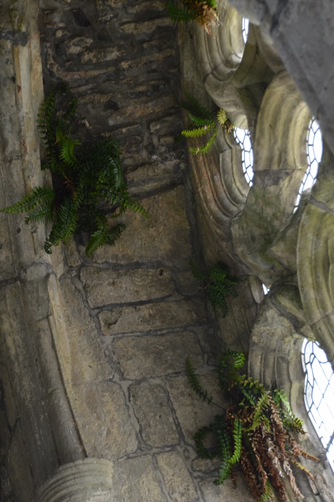
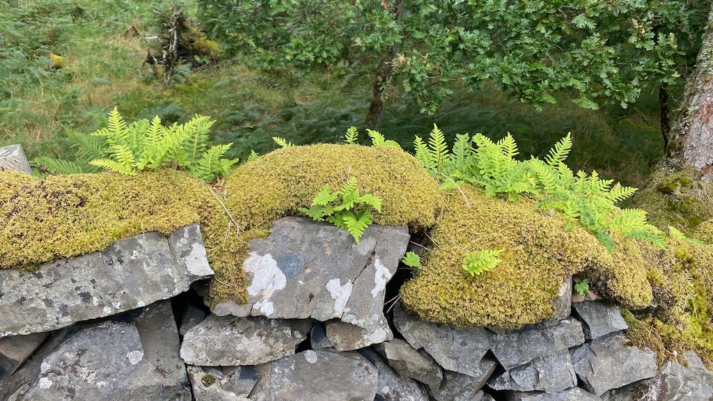
Inside the abbey church there are a number of clumps of rare Sea Spleenwort (Asplenium marinum) growing around the walls. These enterted the church whilst it was open to the elements and the remaining presence of them is said to indicate that the restoration was successfully completed and the building is still breathing.

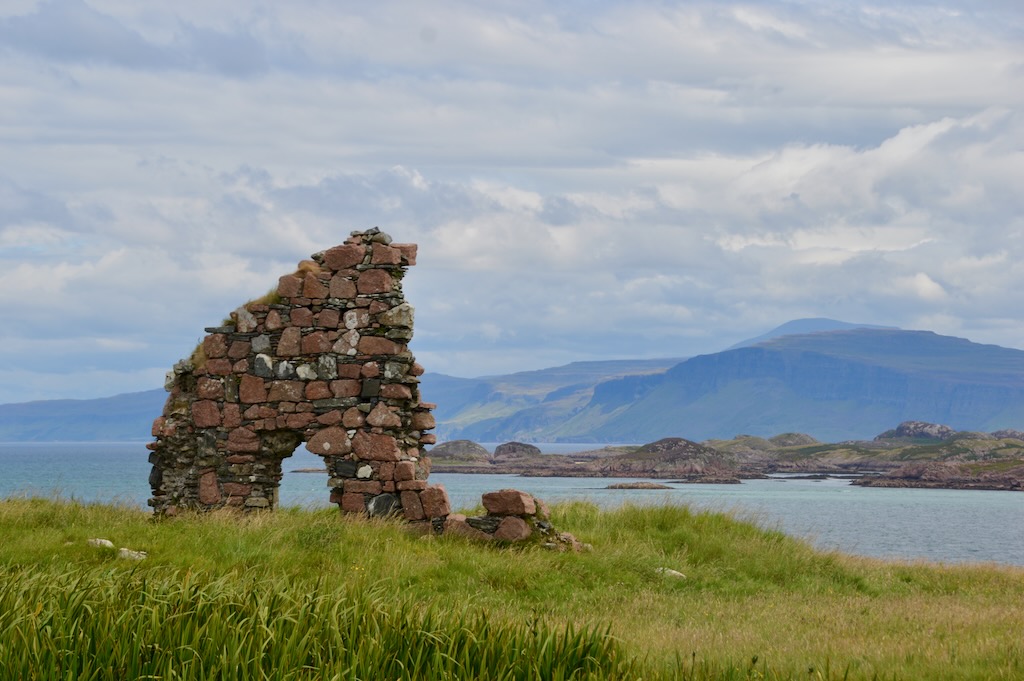
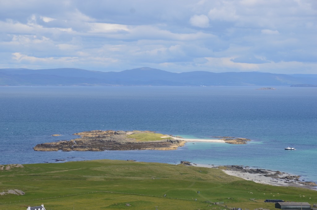
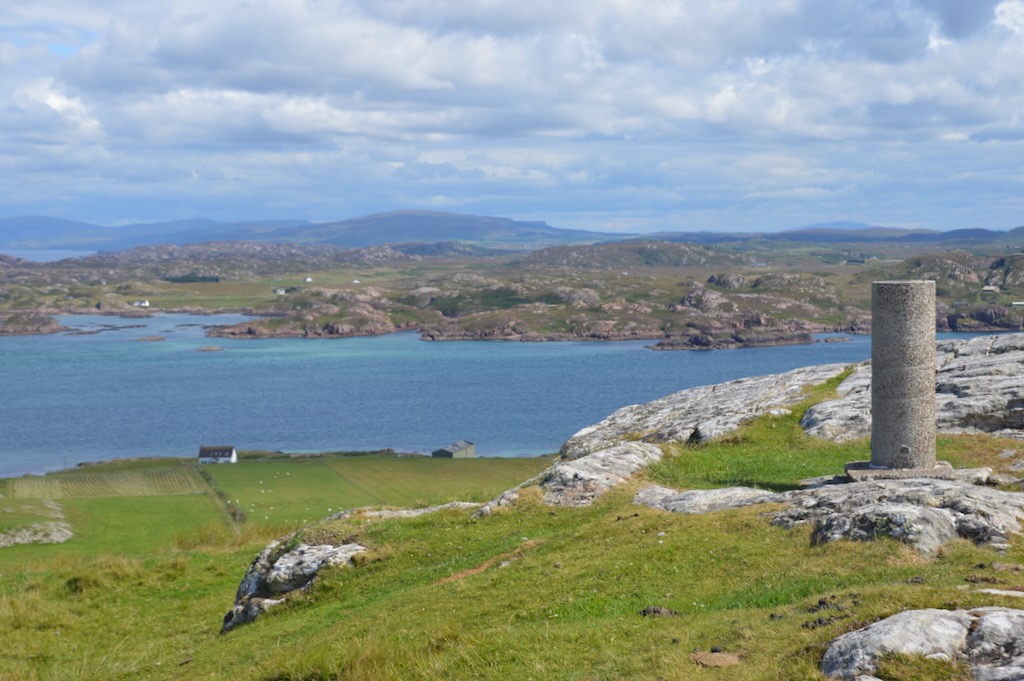
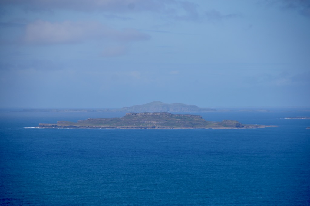
After finishing the tour of the Abbey we decided to head up to the top of Dùn Ì (Hill of Iona) which is the highest point on Iona. We stopped at the top for amazing panoramic views around the island for our picnic lunch. From here we could also see across to Eilean Annraidh (Island of Storm) and beyond to the Treshnish Isles.

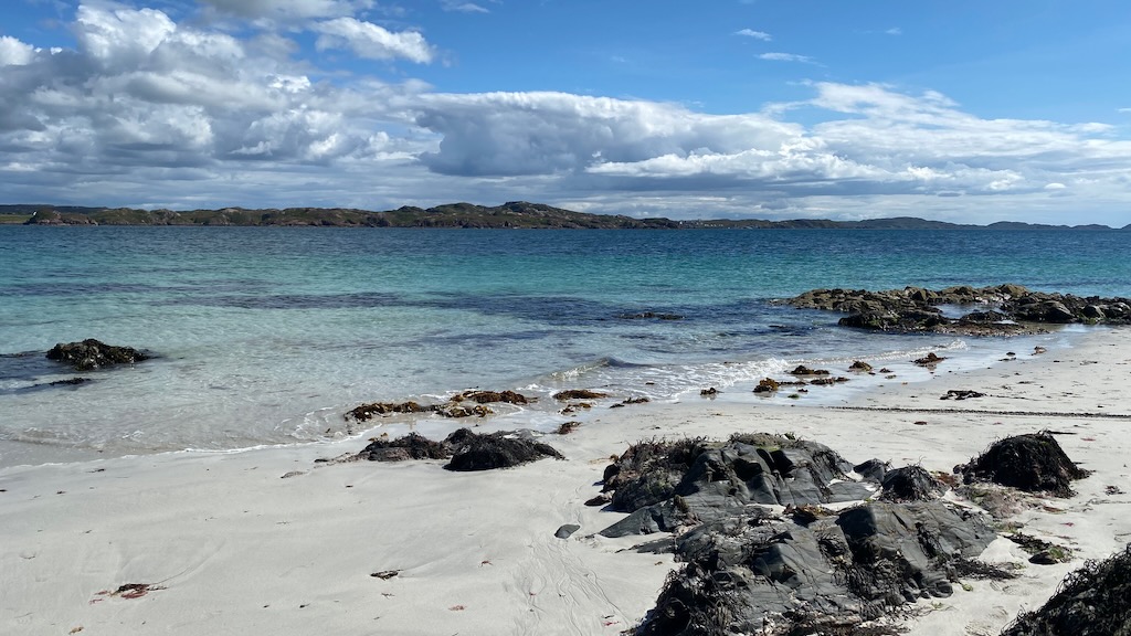
We then headed down and across the island to visit the white sands of Traigh Ban nam Manach (Strand of the Monks) where there the rocks are black granite and the sand is white from crushed shells.

We then headed back across the island to get a drink and chips before catching the ferry back to Mull.

Ulva

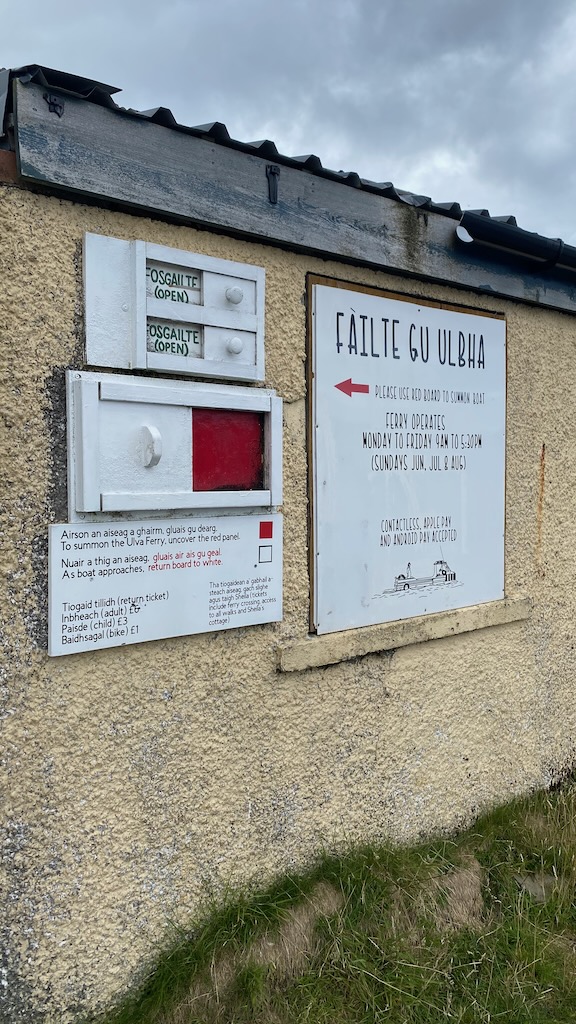
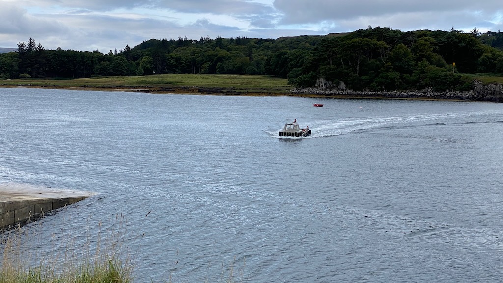
Ulva is a community owned island with a current population of 6 people. The first experience visiting Ulva is the ferry which you summon using by sliding the indicator on the ferry board to show red. I didn't initially spot this, but Kai and Laura did and managed to summon the ferry for us - otherwise we'd have been waiting a long time! This ferry is for passengers only and is a very short crossing across from Mull.

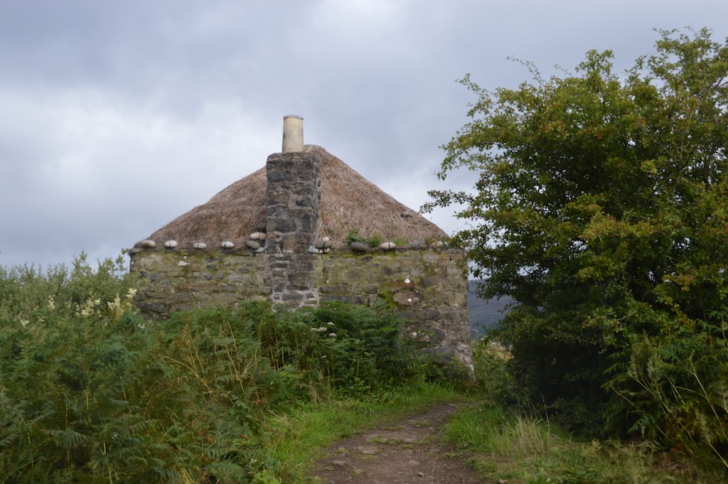
We started our visit with Sheila's cottage which gave an interesting insight into life on Ulva in the past and then a stop for coffee and cakes at the Boathouse Restaurant. We then went for a walk around the near part of the island taking in some of the sights. It was really peaceful with only a couple of other groups of walkers we saw on the way around the island.

The tracks were good, the paths were well marked and the nature unspoilt.

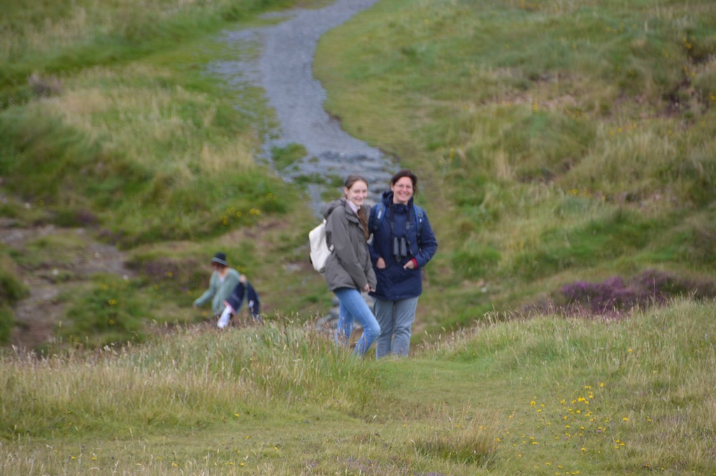
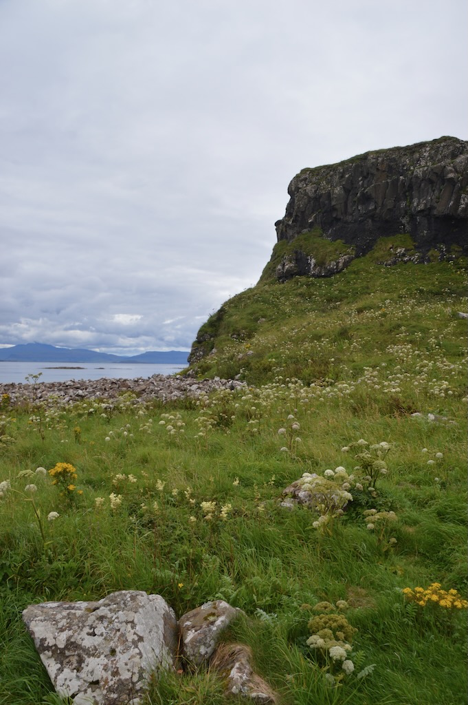
As we reached the higher points on the route, there were fantastic views across to Mull and around the surrounding area.

Staffa and Lunga boat trip

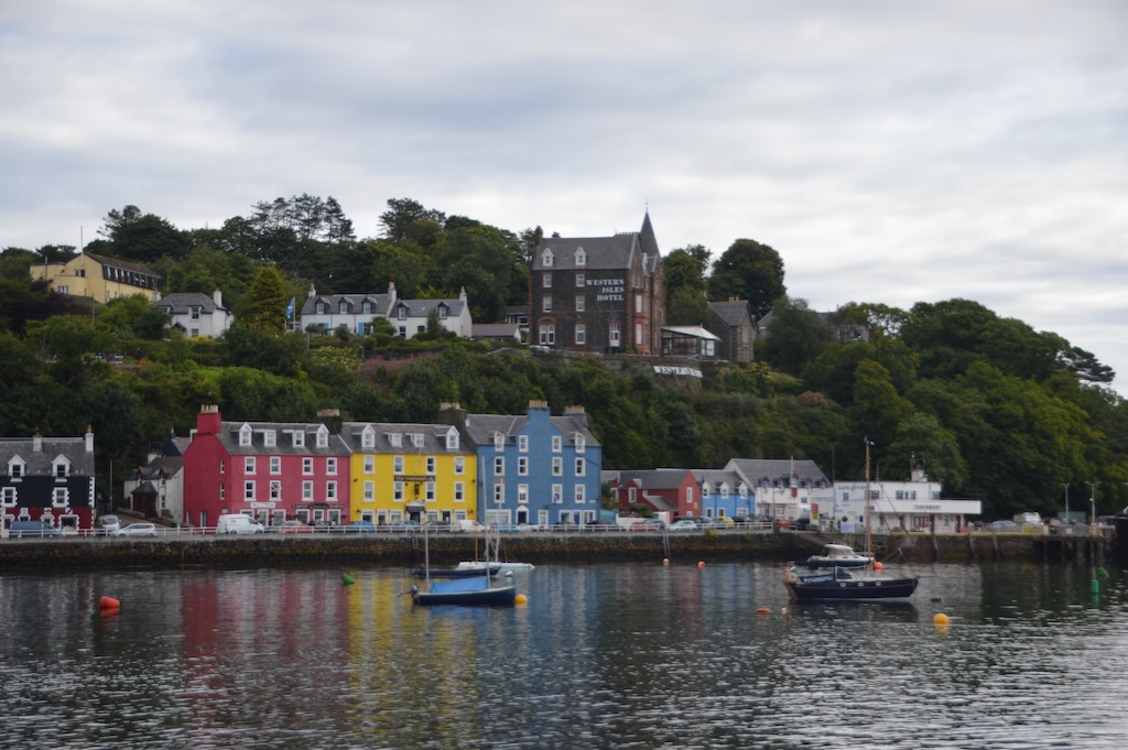
We headed up to Tobermory early on Tuesday morning for the StaffaTours Staffa & Treshnish Isles wildlife tour which is only available during the summer until the Puffins leave Treshnish. We were fortunate to catch them as the guide told us it would likely only be a few more days before the pufflings fledged.

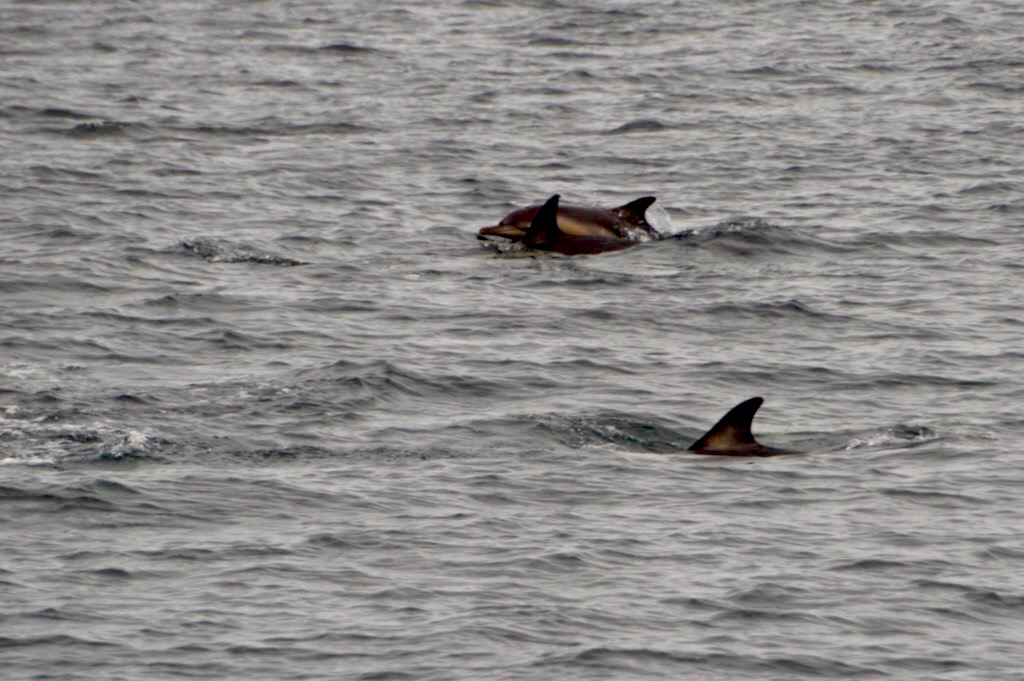
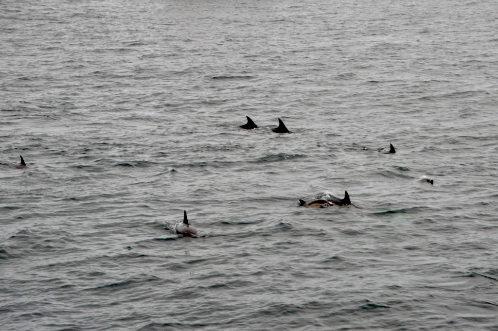
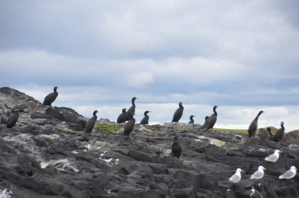
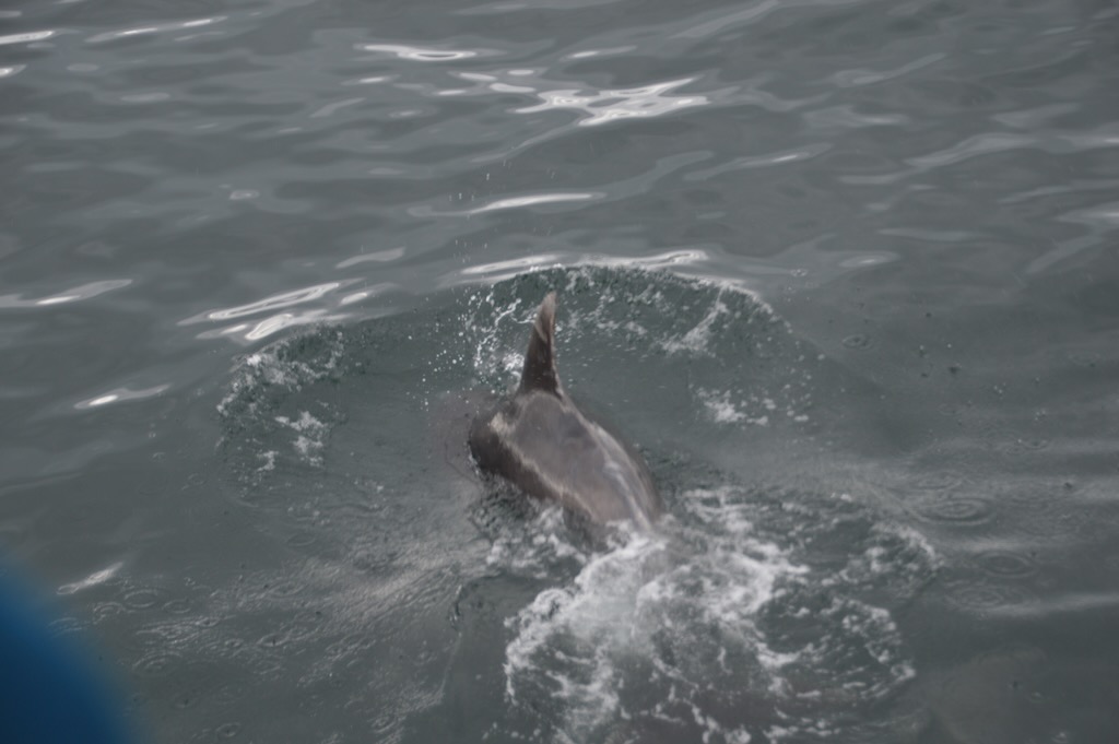
After we'd headed out from Tobermory the crew were alerted to a pod of dolphins a little off our route, so we took a slight detour to see them. It was amazing seeing them so close to the boat. We also saw a lot of sea birds and an otter bobbing along beside us.

Staffa

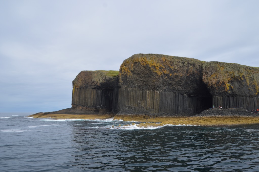
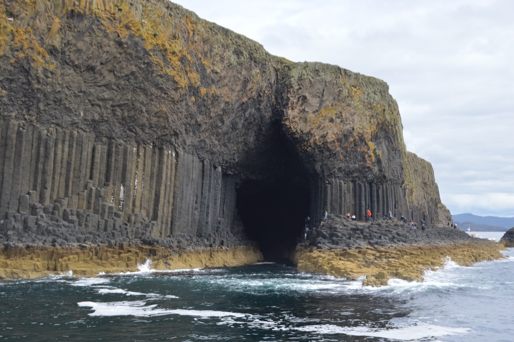
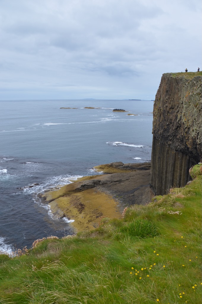
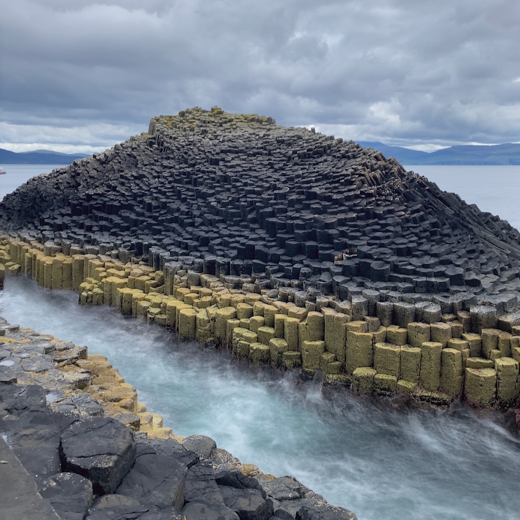
The name Staffa comes from the old Norse for stave or pillar island as the basalt columns that make up the island reminded the Vikings of their wood log houses. The island is formed by these 3-8 sided basalt columns giving it a really distinctive appearance similar to that of Giants Causeway.

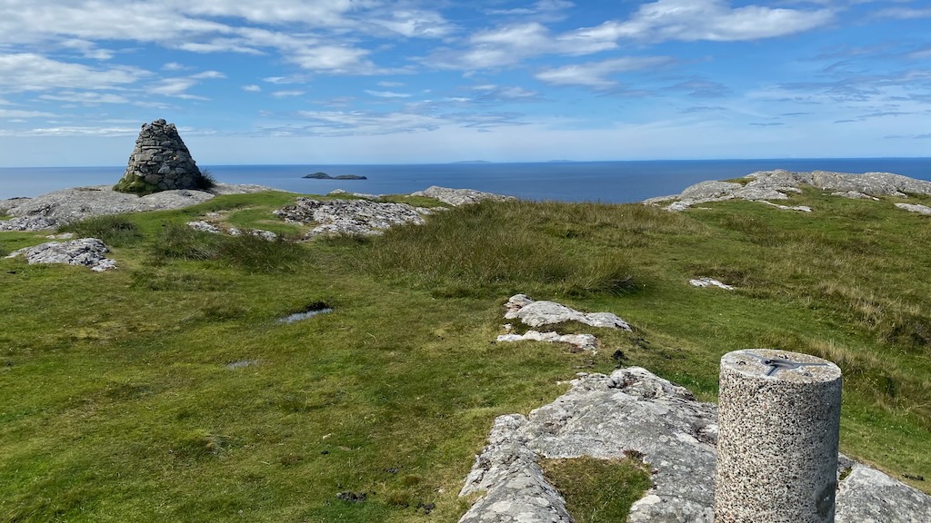
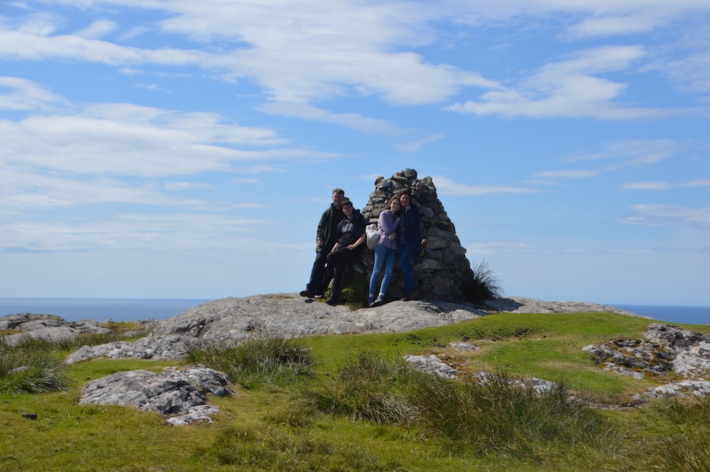
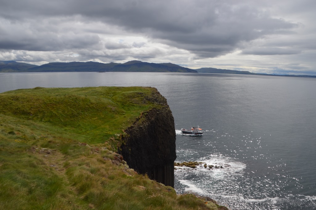
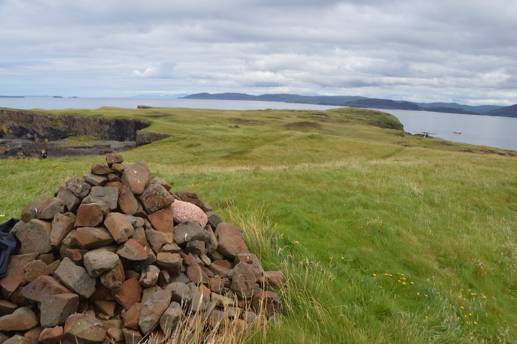
We were dropped off at a jetty and then made our way up the stairway to the main part of the island - it was very busy around the jetty as it's the only way onto the island and a lot of the tours stop here. Me and Kai then headed across to the cairn and trig point at the top of the island on the side of the cliff over Fingal's cave.

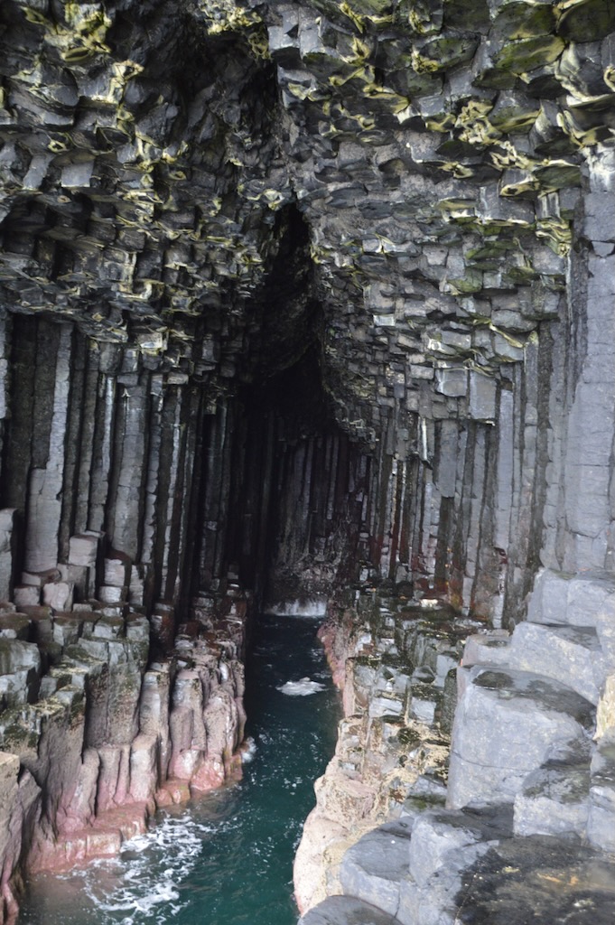
After this we headed back over to meet Laura and Jessica to explore more of the other side of the island and then head down and round the coast to see the inside of Fingal's cave.

After this it was time to head back to the jetty to reboard the boat to head across to Lunga.

Lunga

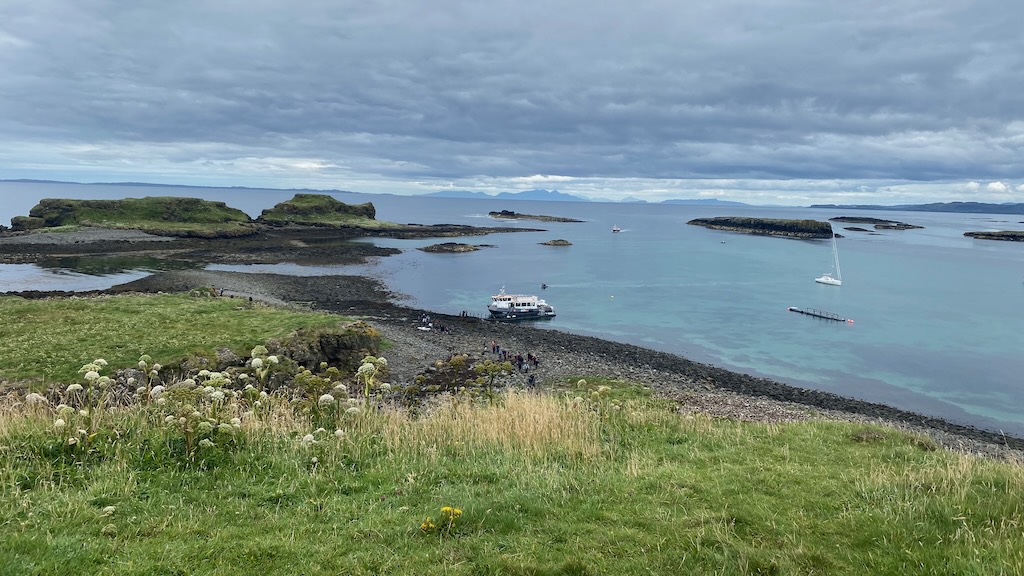
Lunga is the largest of the Treshnish isles and the name comes from Norse "longship island". The boats pulled up against a floating jetty with a small rowing boat attached to it and we were wondering how we'd all get ashore from that, but then realised that the boat would push the floating jetty into the shore proving quite a neat set up.

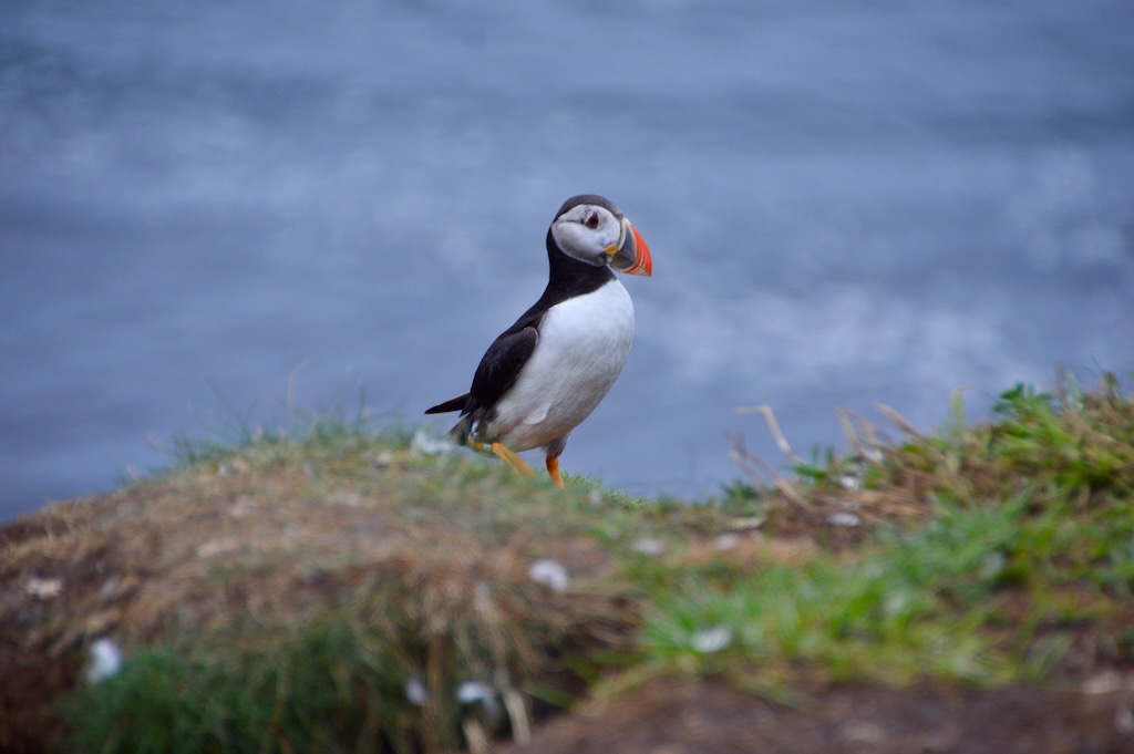
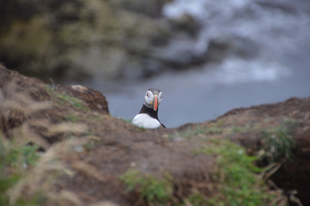
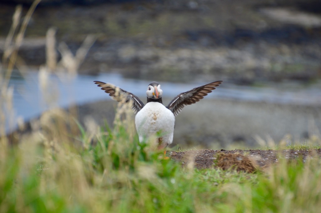
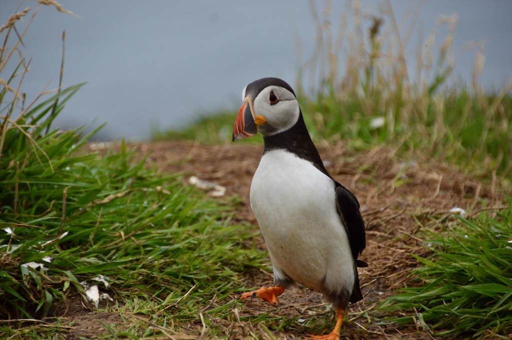
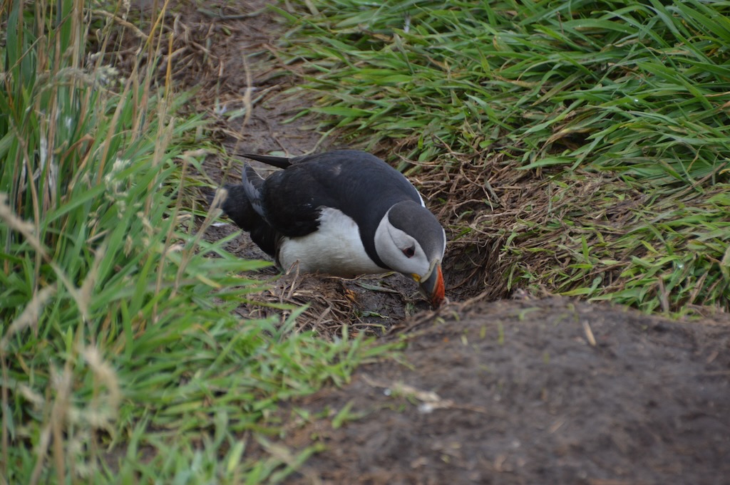
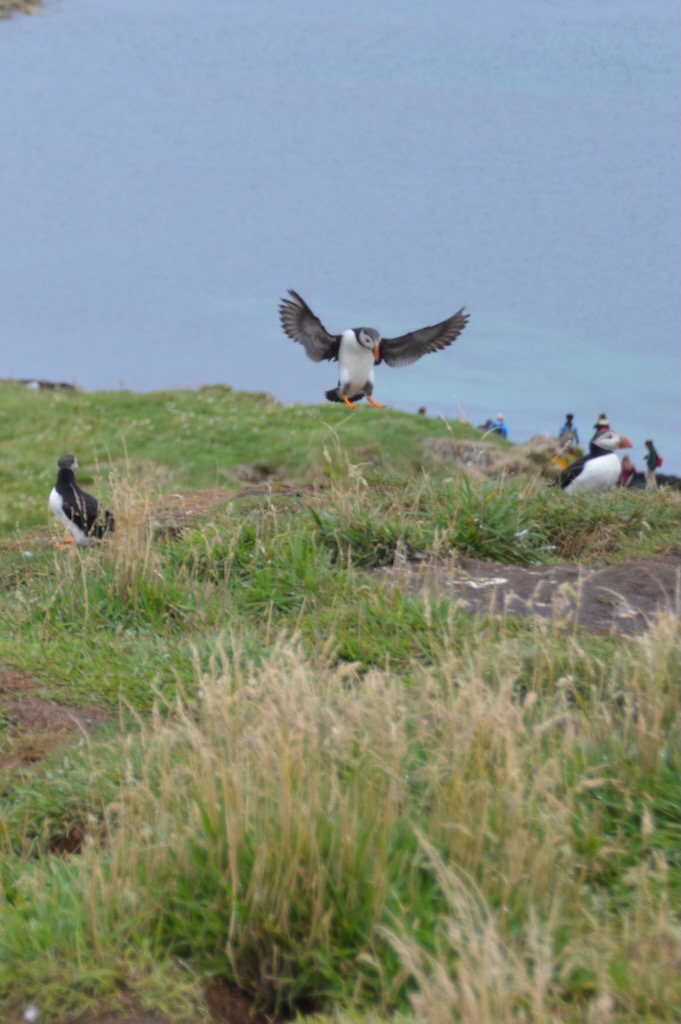
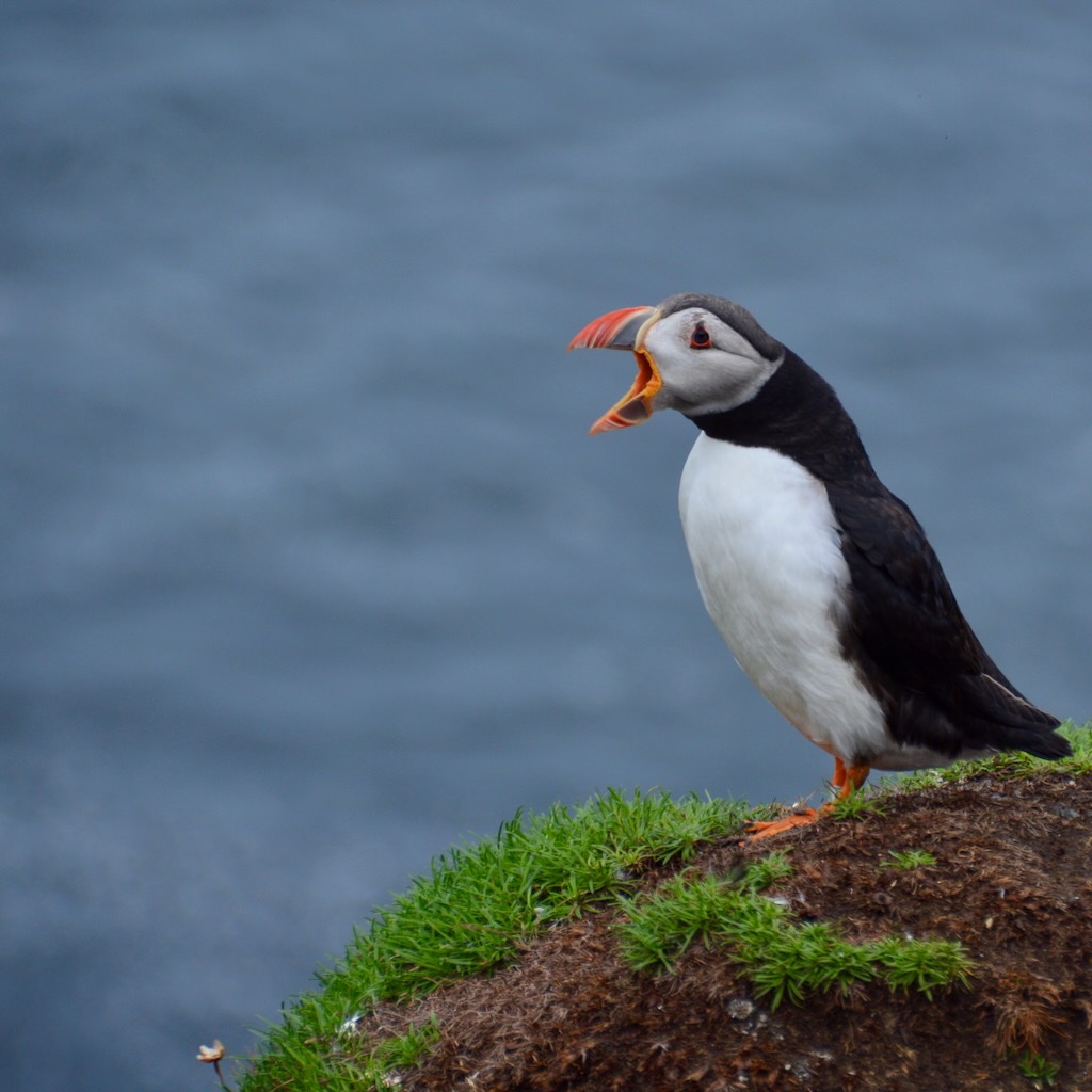
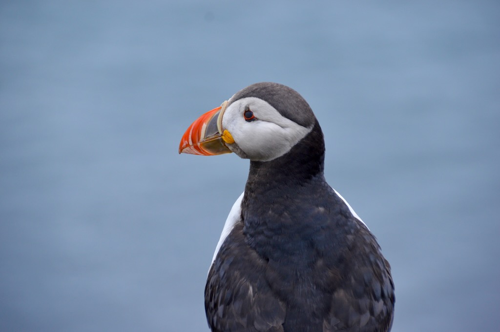
From there we went up the steep path marked with a helpfully painted upward arrow to the cliff top where we found ourselves a spot to sit and have lunch just back from the puffin burrows in the long grass on the cliff edge. There we spent the rest of the afternoon puffin watching and it was magical seeing so many puffins flying in and diving into their burrows with food for their pufflings.

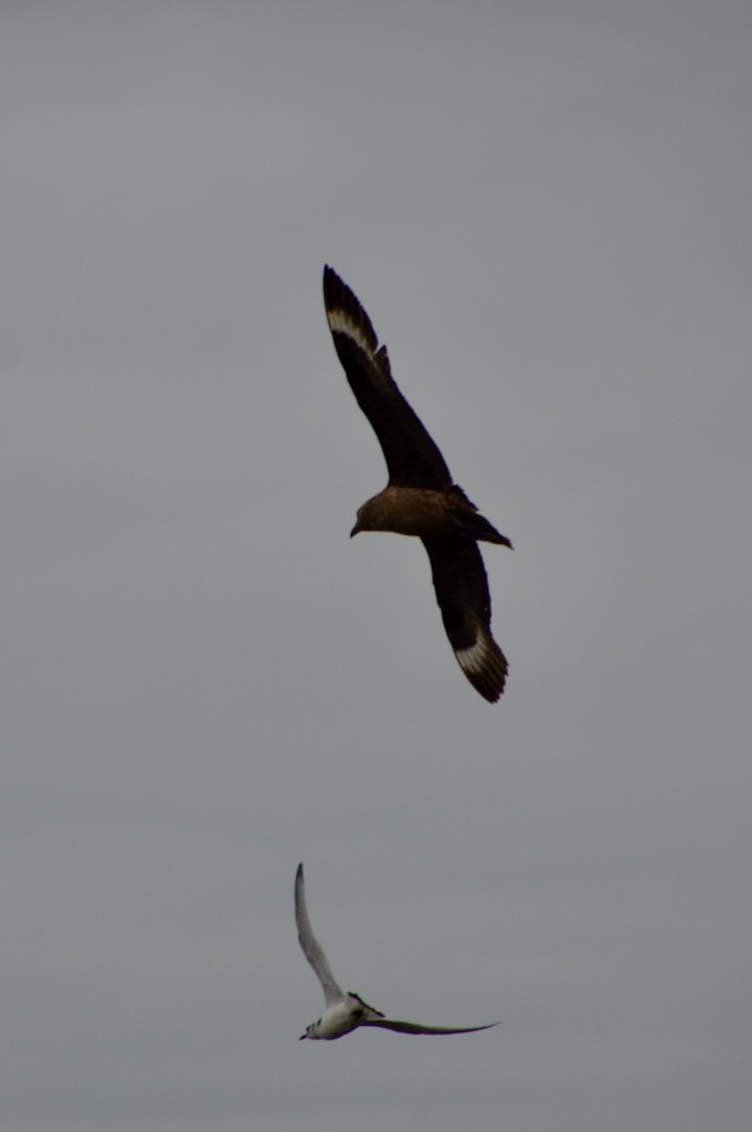
The presence of humans on the cliff top is apparently good for keeping the skuas away from stealing the puffins food, but we had to be careful to stay back from the burrows to avoid crushing them.

In a few days time the pufflings would fledge by jumping off the cliff in the dead of night and all of the puffins would gone - spending most of the year living out over the sea until they return again to breed next year

On the way back as we were heading in to Kilchoan (the west most village on the mainland) as the first drop off point we saw a pod of bottle nosed dolphins alongside the boat.
Central Mull

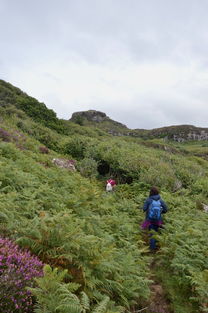
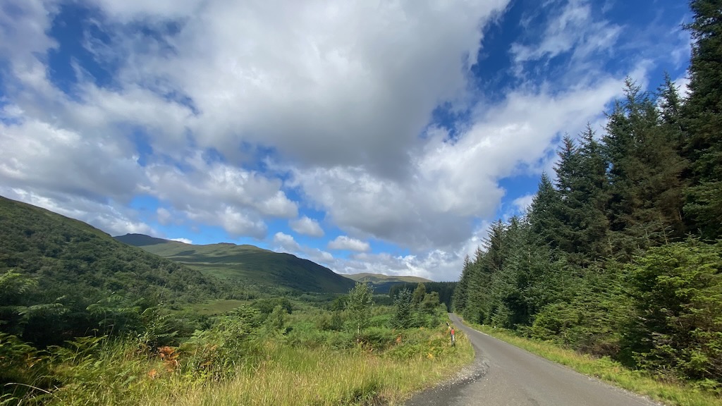
For our first day on Mull we decided we'd head out and explore the central loop of the island in the car following a route described in the brochure in the farmhouse. This gave us our first real insight to driving in Mull as most of the roads are single track with passing places - although the passing places are very frequent so you can almost always see one ahead of you. The route took us along between the mountains through forests and by lochs as we wound around the hilly landscape of central Mull.
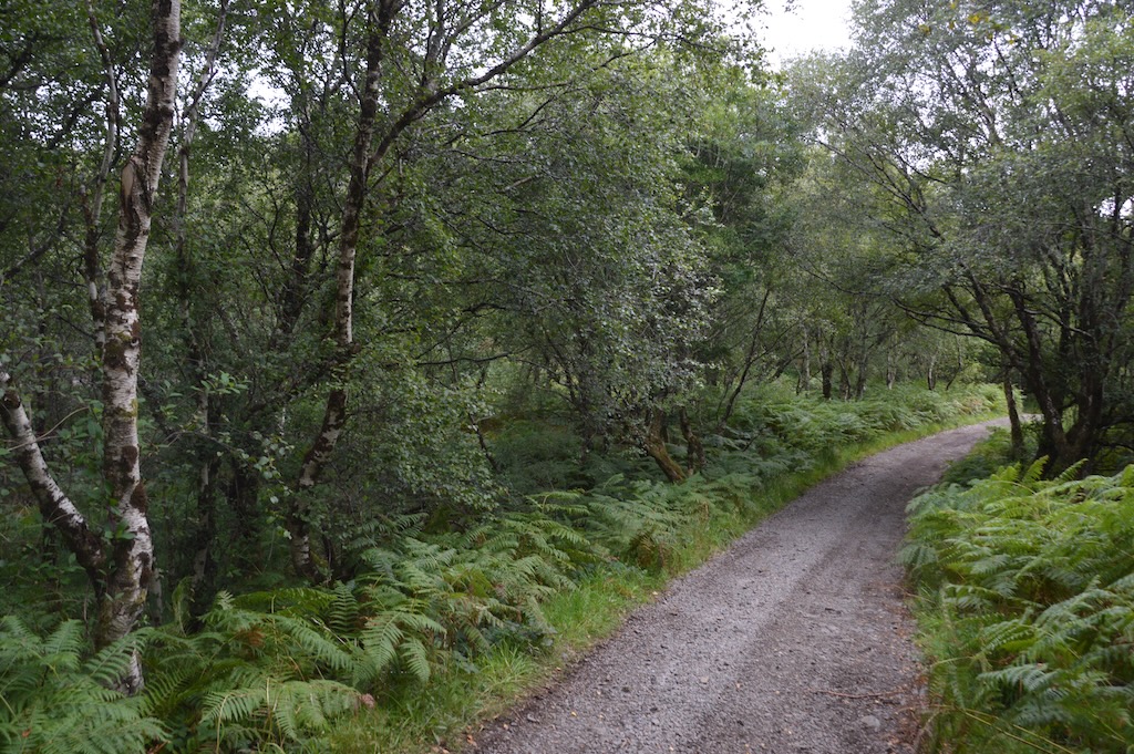
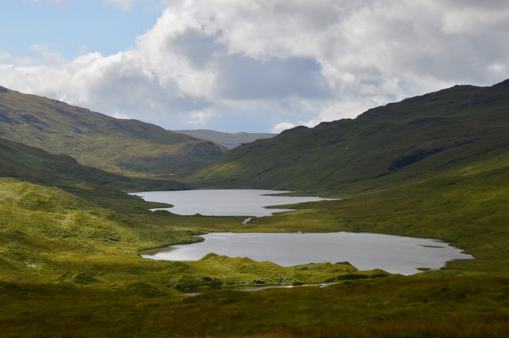
We first went along following the valley through Glenmore and came up out of the forest to views overlooking the three lochs - Loch an Eilean, Loch an Ellen and Loch Airde - between Ben Buie and Creach Beinn.

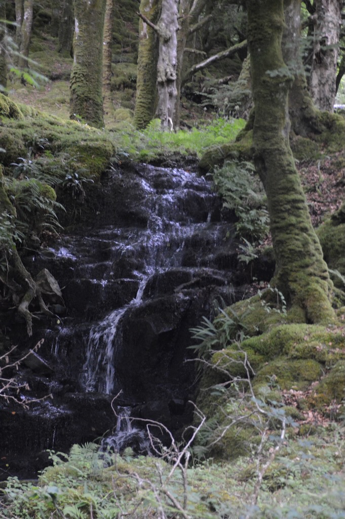
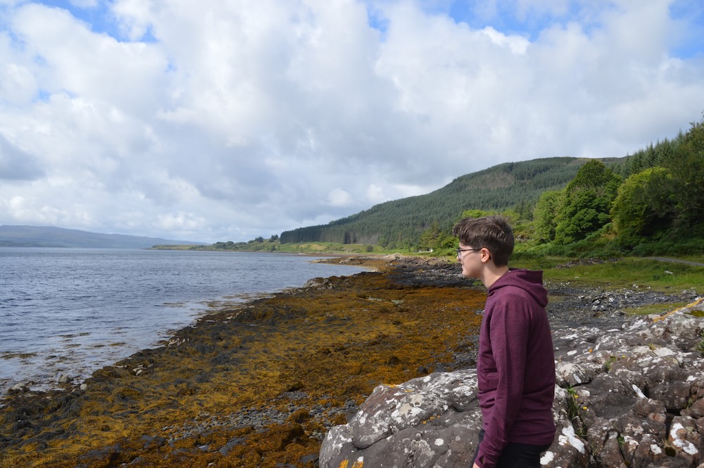
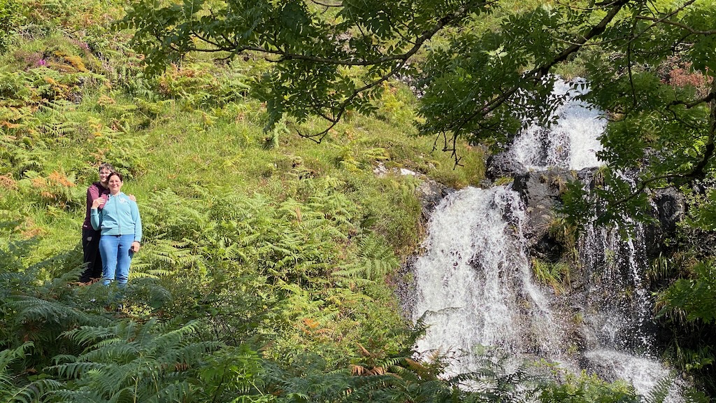
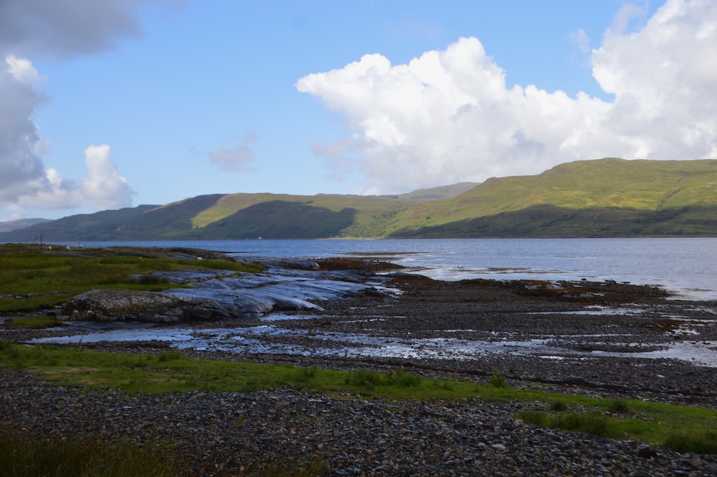
We saw rocky shores where could imagine the otters would appear early in the day and majestic waterfalls as the water poured down from the mountains. We stopped for a lunch break near Traigh Doire Dhubhaig overlooking Eorsa and as it started to rain we had our picnic in the car.

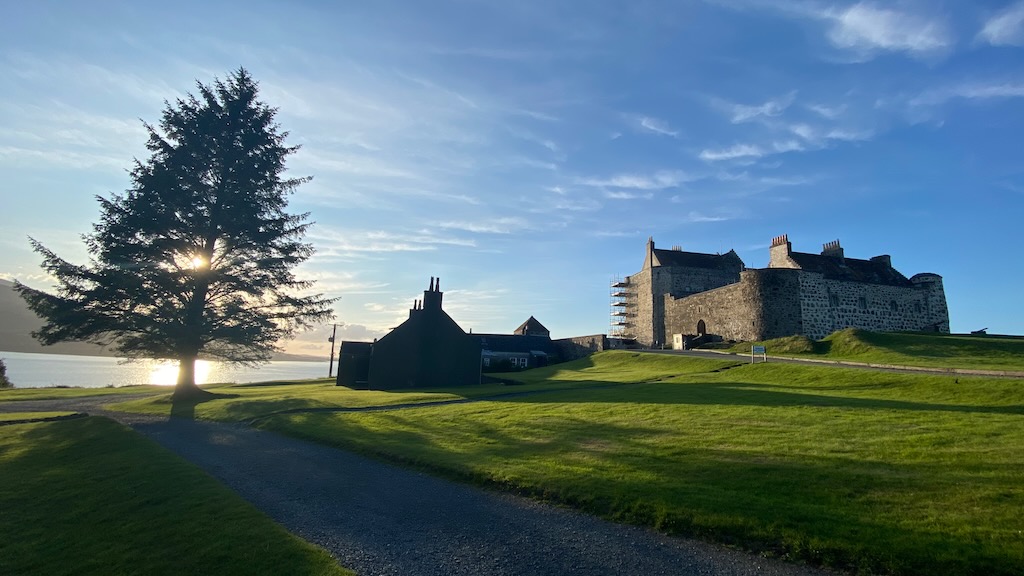
We then headed back to the farmhouse for a bit, but decided as it was such a nice evening to head down the road to the local Duart Castle.

Scotland 2023

Scotland 2023

  • 28 Jul - Glasgow
  • 29 Jul - 5 Aug - Isle of Mull
  • Loch Lomond - 5 - 8 Aug
    • 6 Aug - Inversnaid

Avebury

We met my parents at Avebury and spent the day exploring the ancient landscape around the area. Avebury is one of the best preserved Neolithic monuments in Europe and is believed to have been constructed between 3100 BC - 2000 BC. The site consists of a large henge, or circular ditch, surrounded by a stone circle, two inner circles and two additional semi-circles outside the main ring.

From there we walked along the West Kennet Avenue and up over the fields. As we reached the top, we started to see a glimpse of Silbury Hill - the largest artificial mound in Europe. We then headed down towards Silbury Hill and across to the West Kennet Long Barrow which is a really impressive structure. As we took in the sights of the long barrow and the views all around the landscape we watched the swallows flying into the barrow to catch flies.