Ricky Moorhouse

Travel

New York

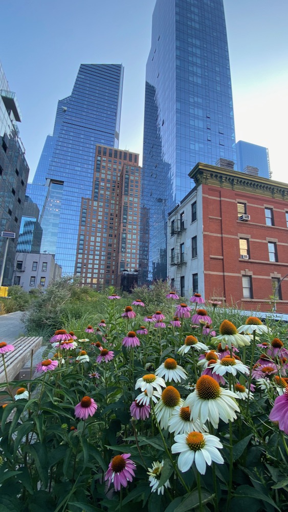
The next morning I was up early and decided to head first to the 
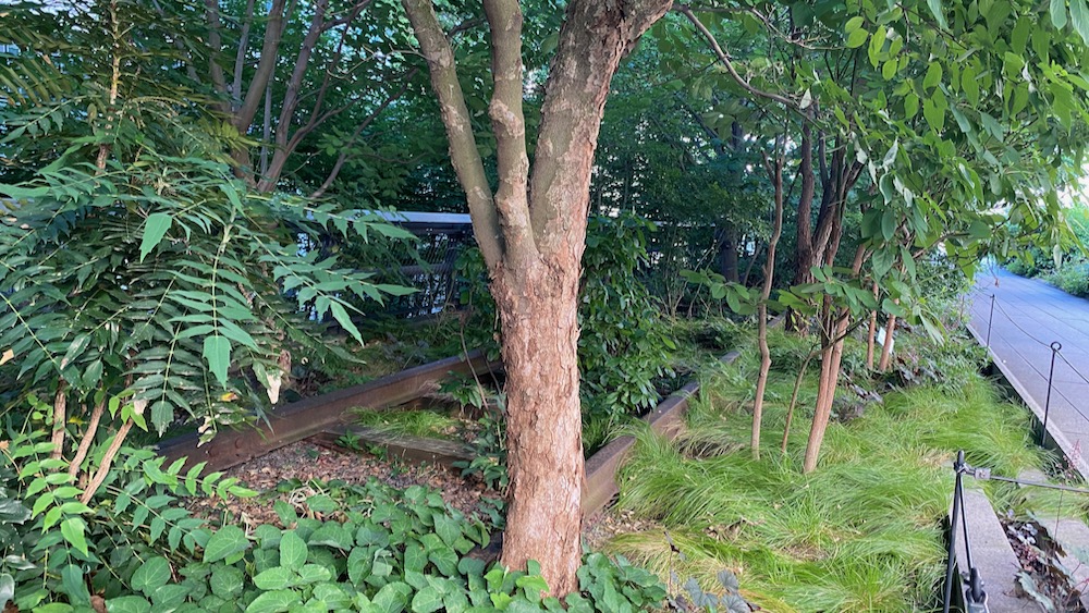
High Line - a park/walkway created from an historic raised rail line which goes along the West Side of Manhatten. It's fantastic to see the way the plants have been selected and seeing trees growing in between the old tracks with different sections having distinct settings from wild prairy to wooded sections providing a relaxed park atmosphere with a unique historic character to it. At the end of the line I headed to the Starbucks Reserve coffee roastery to have a coffee before heading back. I then went back to my hotel and got changed for the warmer day ahead and headed down to the dock for my boat tour. 
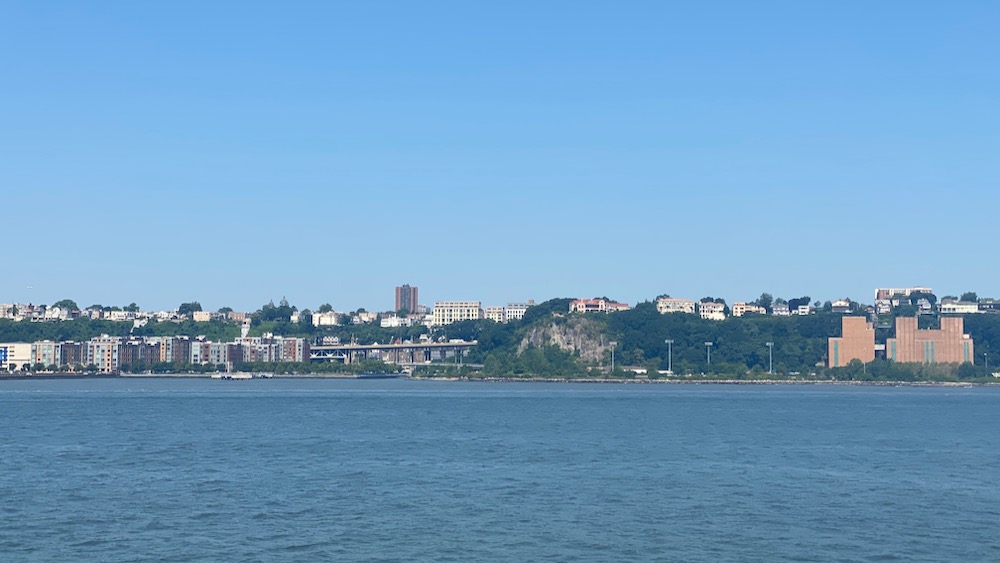
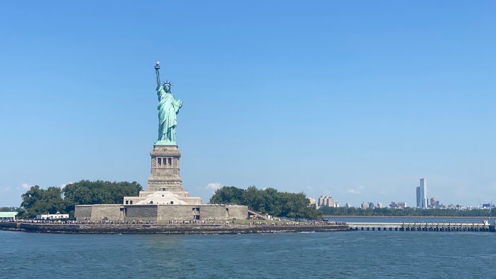
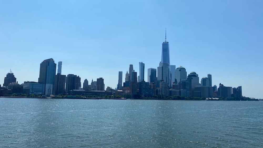
The boat tour took me right out past the Statue of Liberty with great views across the skyline along the way. I then checked out the 
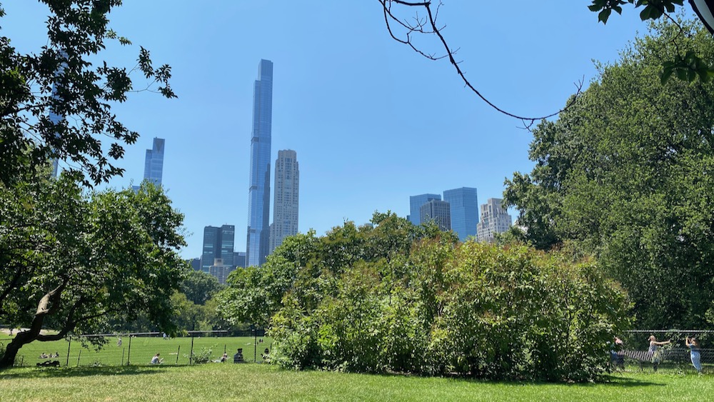
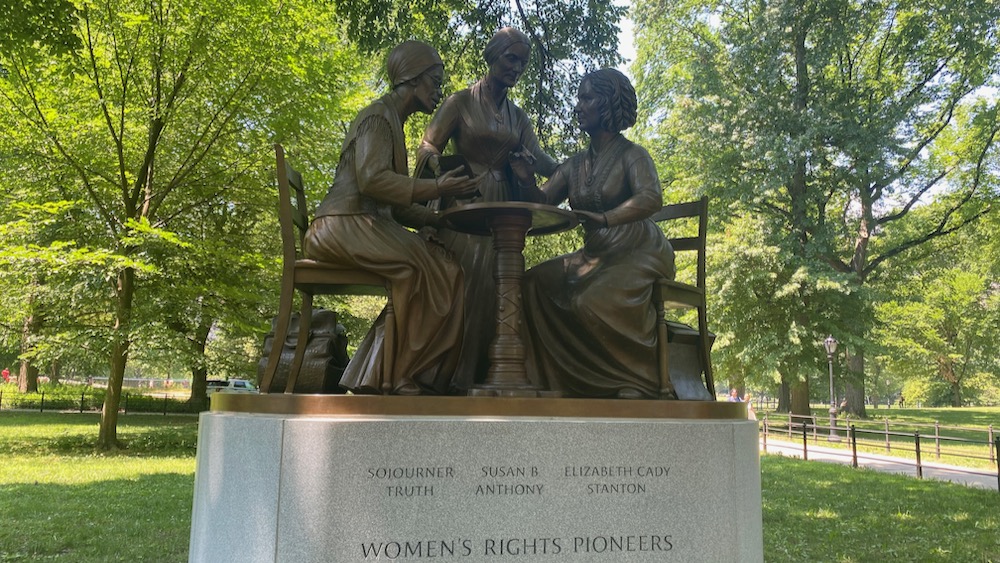
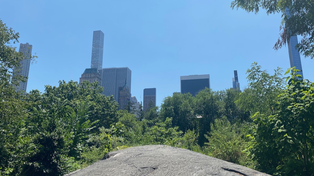
Drama bookshop and then took the subway up to Central Park where I sat in the park to have my lunch.
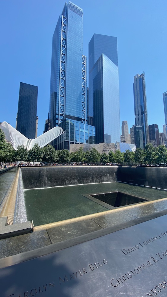
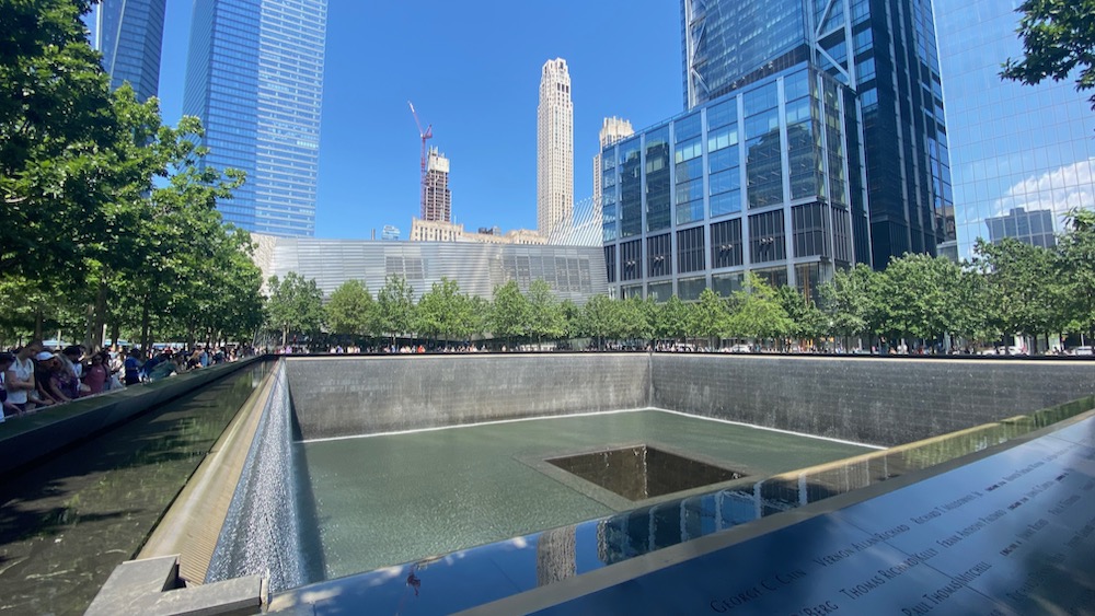
 World Trade Center Then in the evening I went to 
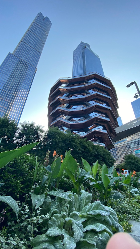
Hudson Yards which is a really interesting development built over the top of railway yards, making use of land that couldn't previously be used. There's some really innovative sustainability steps been taken in how water and energy are managed and growing trees in shallow soil encouraging their routes to grow horizontally for stability and nutrients.

Hudson Yards - Sustainability Animation from Neoscape on Vimeo.

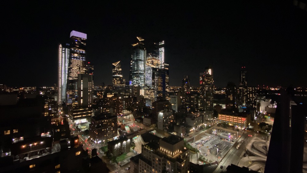
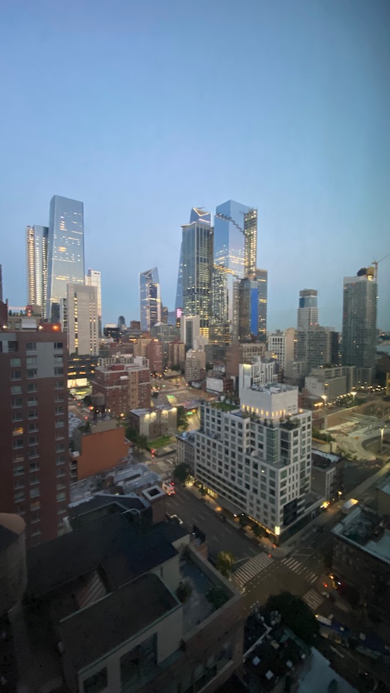
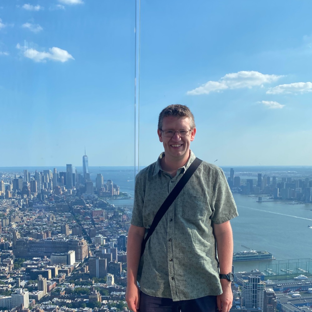
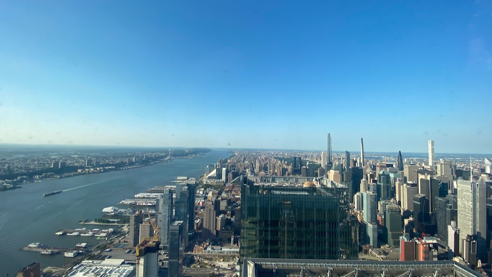
I then went up to The Edge where you get stunning views across the city. 
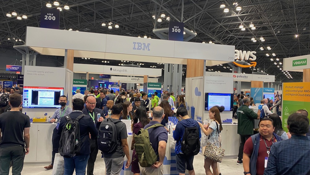
The next day was the AWS Summit which was the reason I was in town. This was a massive event and hugely popular, resulting in long queues for attendees to get in snaking across the entrance foyer and around the block. Fortunately being there as an exhibitor I'd been able to arrive early and prepare before the main entrance opened. IBM had a large booth with 4 demo screens and most of the day I spent here meeting people and talking about our new API Connect on AWS SaaS offering. I also got time to explore the other exhibitors and talk to some of the AWS team which was really interesting and useful. 
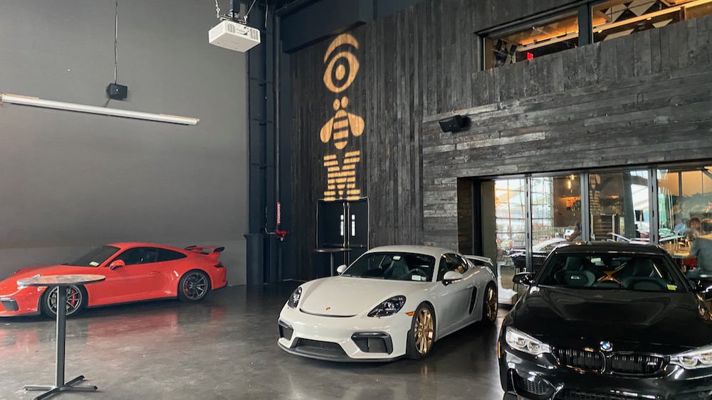
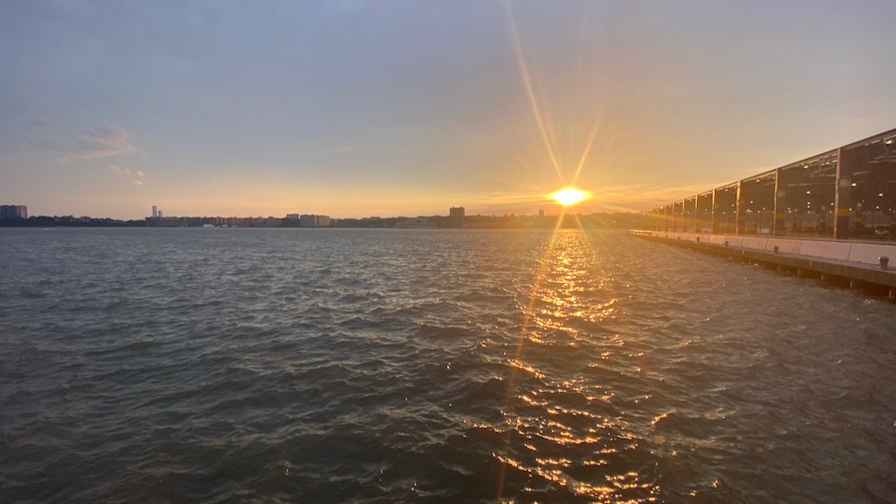
In the evening we had an IBM Client appreciation reception at the classic car club where I met more people and chatted with them surrounded by the impressive car whilst watching the sun go down over the Hudson until it was time for me to head to the airport for my flight home.

Birds on Galveston Island

As I hadn't adapted to Central time and still waking up close to UK time I headed out early and drove down to Galveston Island to try and see the local brown pelicans. In Galveston, they get both the brown pelicans, and the invasive white pelicans which have tried to take over.

There is a vast length of beach along the island, and it was so peaceful in the early morning, with just the birds (and the bird watchers) about! I first stopped at a beach side car park and saw the Laughing Gulls and the Willets. Then on the way back along I stopped at Galveston Fishing Pier to see what more I could see if I was a bit further out into the sea. There I was treated to a group of Pelicans flying across in front of me at the end of the pier.

Laughing Gulls

Willets

Brown Pelicans

After this I headed back up towards Houston to get to the Space Center just as it opened. On the way across the bridge back to the mainland from Galveston there were two flocks of Pelicans that flew really low across the road - so close, it felt like I was being dive bombed by them!

Places Visited Map

For a while I've had a variation on my map of the places I've visited - here's a summary of how my current version is working.

The whole site is currently generated by hugo, a static site generator with no server side component. The map is powered by MapBox GL which lets me choose any of the mapbox styles to use for my map. I create a markdown file for each place on the map, with the latitude and longitude in the 'front matter' for the post which looks something like this:

    ---
    title: "Salto"
    layout: travel
    datePosted: 2003
    photo: "/travel/image.jpg"
    lat: -31.387022
    lng: -57.968802
    ---

I then have a list layout for travel items which will generate GeoJSON data from the list of places. In my current version of the map this is inline within the page and fed directly into the Mapbox javascript method like this (roughly based on the Mapbox GeoJSON points tutorial):

        ...
        map.addLayer({
            "id": "places",
            "type": "circle",
            "source": {
                "type": "geojson",
                "data": {
                    "type": "FeatureCollection",
                    "features": [
        {{ range .Pages }}
                    {
                        "type": "Feature",
                        "geometry": {
                            "type": "Point",
                            "coordinates": [{{ .Params.lng }}, {{ .Params.lat }}]
                        },
                        "properties": {
                            "title": "{{ .Title }}",
                            "description": "{{ .Content }}"
                        }
                    },
        {{ end }}
                    ]
        ...